Chittorgarh – Honor and Glory
Located on an elevated plateau overlooking the plains of Rajasthan, Chittorgarh is closely connected to the political and military history of Mewar. At the entrance to the hill complex, a plaque bears the inscription: “Our Heritage is our glory.” The phrase reflects the local understanding of the place—not merely as an archaeological location, but as a continuing symbol of identity.
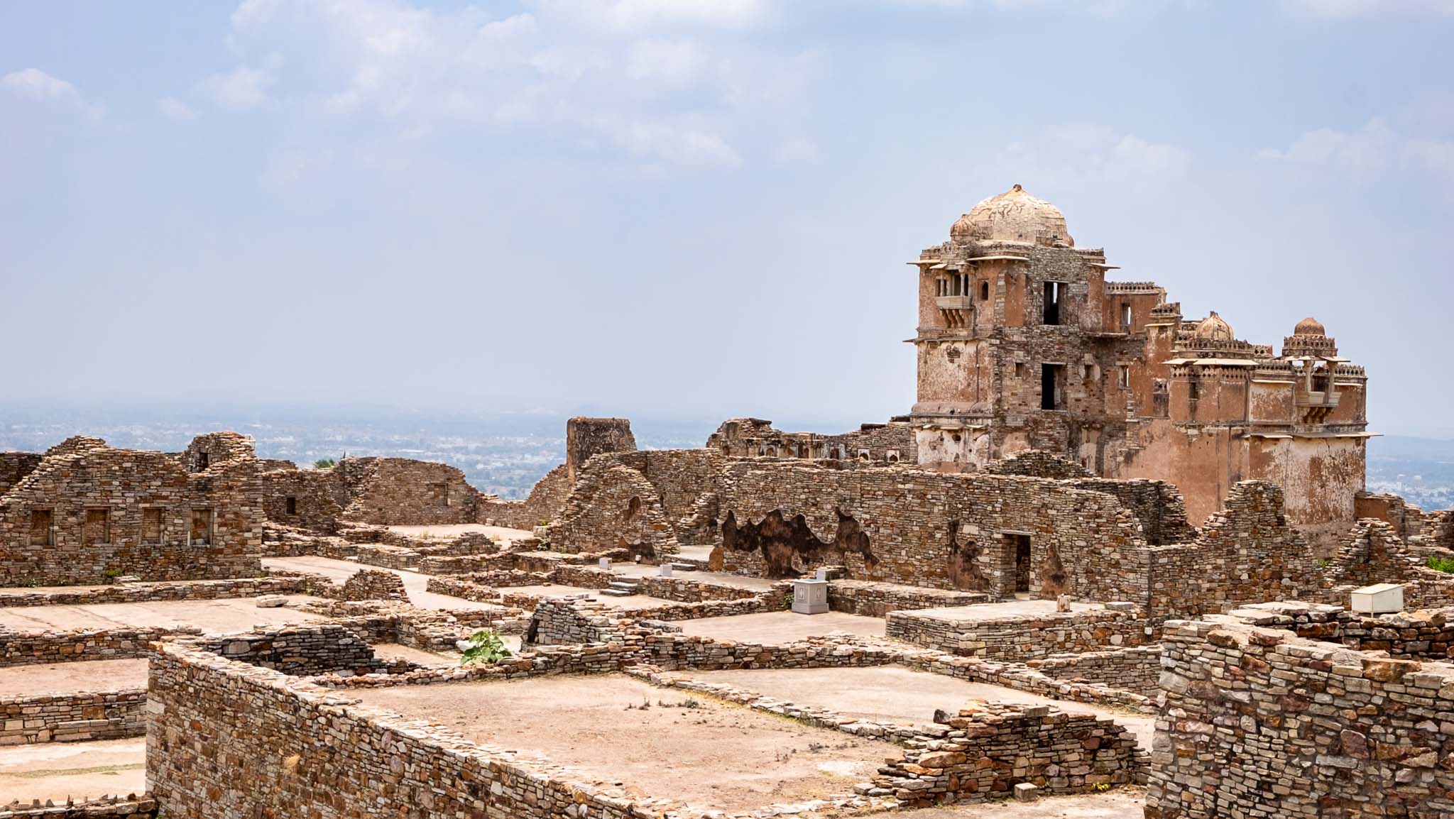
We approached the city along a road that ascends gradually towards Chittorgarh Fort. What first appears as a fortified hill opens into an extensive plateau, spread across several kilometers, containing palaces, temples, reservoirs, and a wide field of ruins. Unlike more compact historic cities, Chittorgarh is defined by the dispersal of its structures across open land.
The early history of Chittorgarh is associated with the Guhila, later Sisodia, rulers of Mewar. Bappa Rawal is most often linked with its early consolidation, although the settlement itself likely predates his time. Over the centuries, Chittorgarh developed into the principal capital of Mewar. Its political history is marked by repeated sieges, most notably by Alauddin Khalji in 1303, Bahadur Shah of Gujarat in 1535, and Akbar in 1567–68. These were prolonged campaigns that tested both the fort’s defenses and the endurance of its inhabitants. After the Mughal conquest, the rulers of Mewar shifted their capital to Udaipur, though Chittorgarh retained its symbolic importance.
Understanding this place requires interpretation, as its past is reconstructed through its surviving remains.
Chittorgarh Fort
Chittorgarh Fort functioned as a defensive structure and a historical settlement. The ascent to the fort passes through a sequence of fortified gates arranged along a winding path. These gates were designed to slow advancing forces and provide successive layers of defense. The gradient of the approach, combined with the placement of these gateways, forms an integrated defensive system.
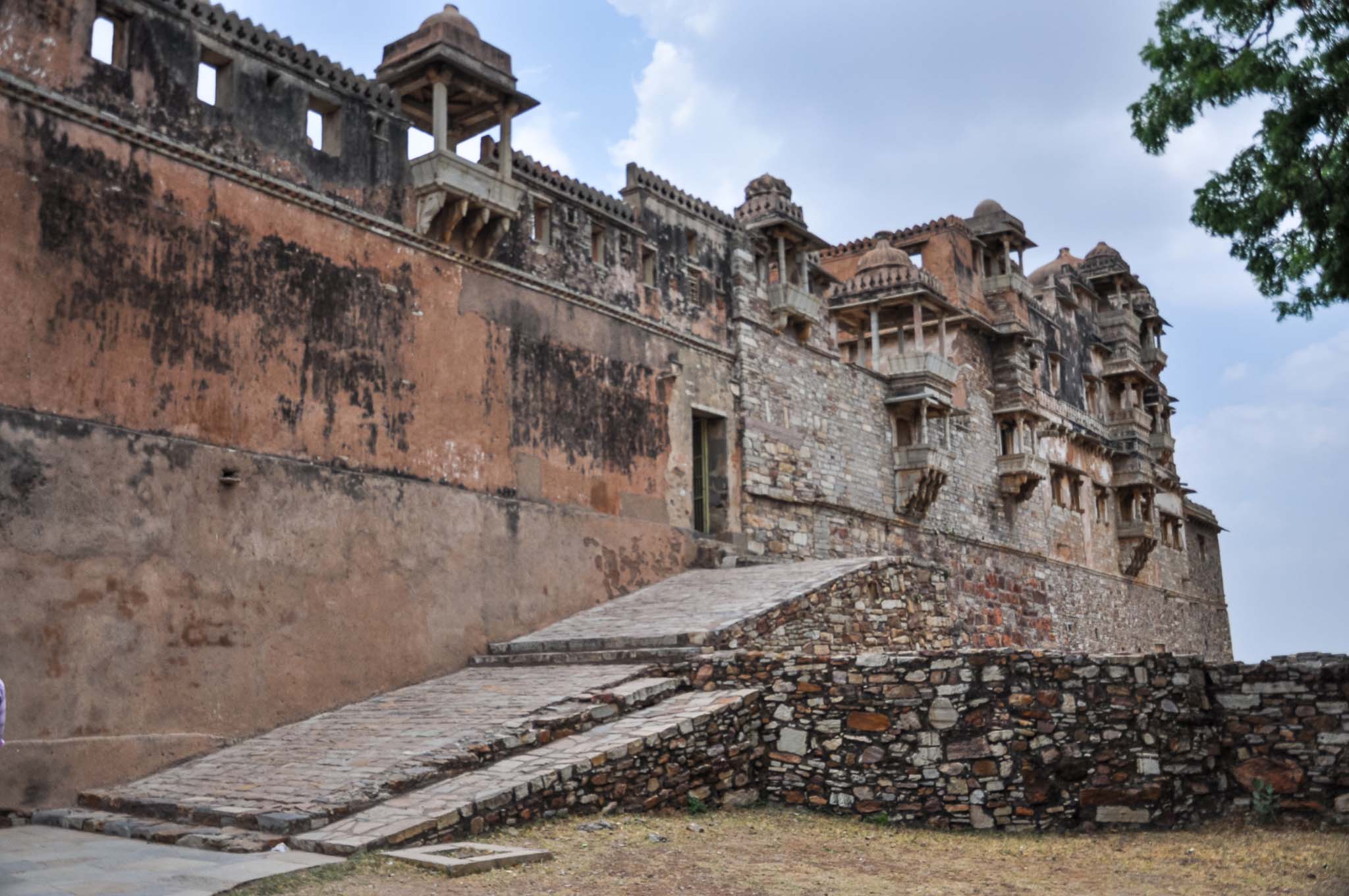
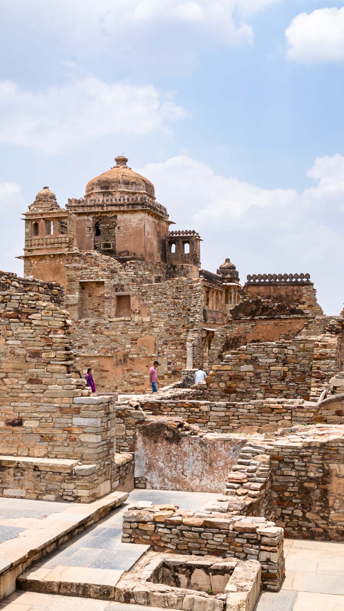
Inside, the fort opens into a wide plateau. The layout is expansive rather than dense, with structures distributed across large areas. Defensive walls define the boundaries, while internal zones appear to have been organized according to function. Administrative buildings, residential areas, and temples are located in different sections, indicating that the fort was a planned settlement rather than an unstructured accumulation of buildings.
Water management played a critical role in the fort’s design. Numerous reservoirs, tanks, and stepwells were constructed to collect and store rainwater. These systems ensured that the fort could sustain a large population during prolonged sieges. Many of these water bodies remain visible today, reflecting a well-developed understanding of environmental conditions and resource management.
Rana Kumbha Palace
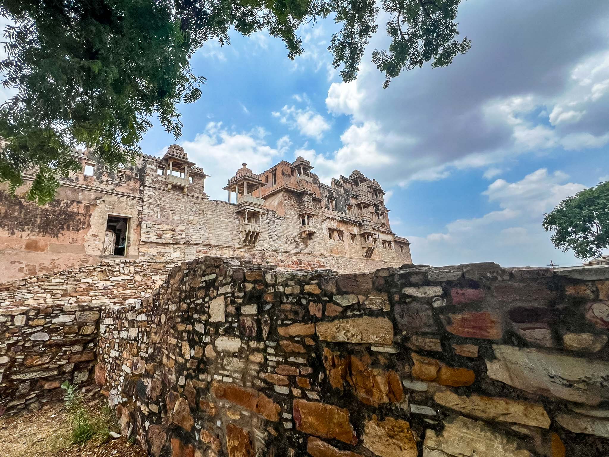
The Rana Kumbha Palace is one of the largest and most significant structures within the fort. It is associated with Rana Kumbha, a 15th-century ruler known for his contributions to architecture and governance.
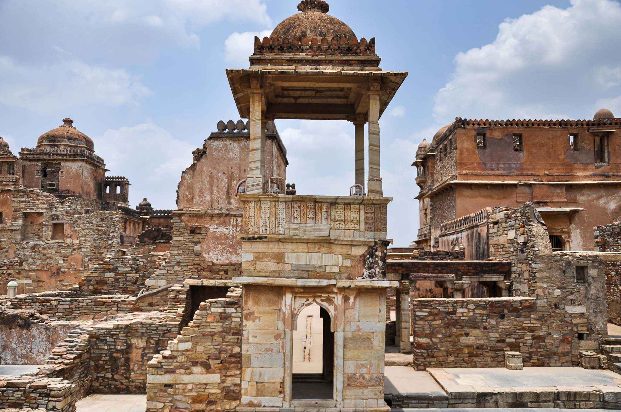
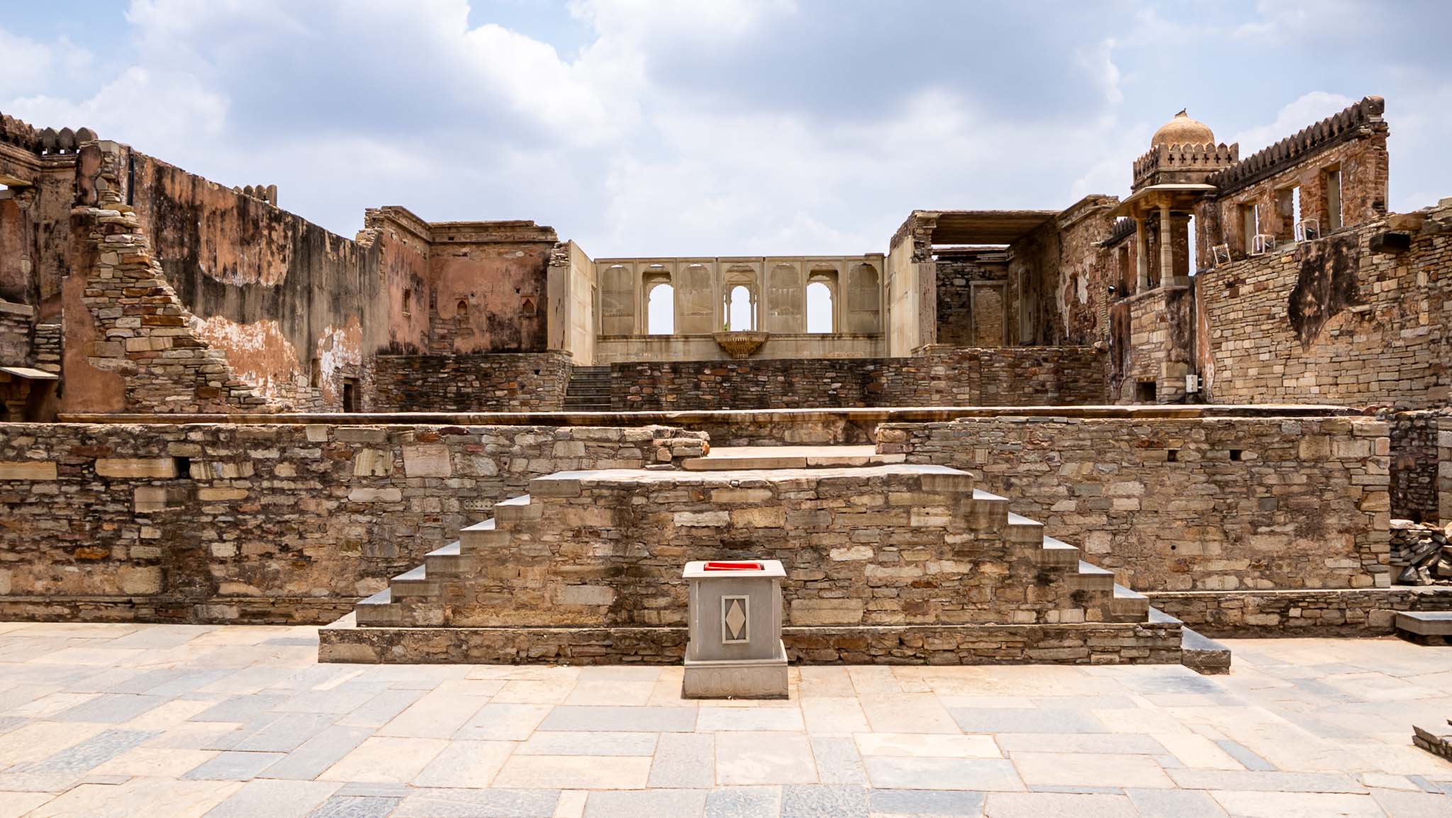
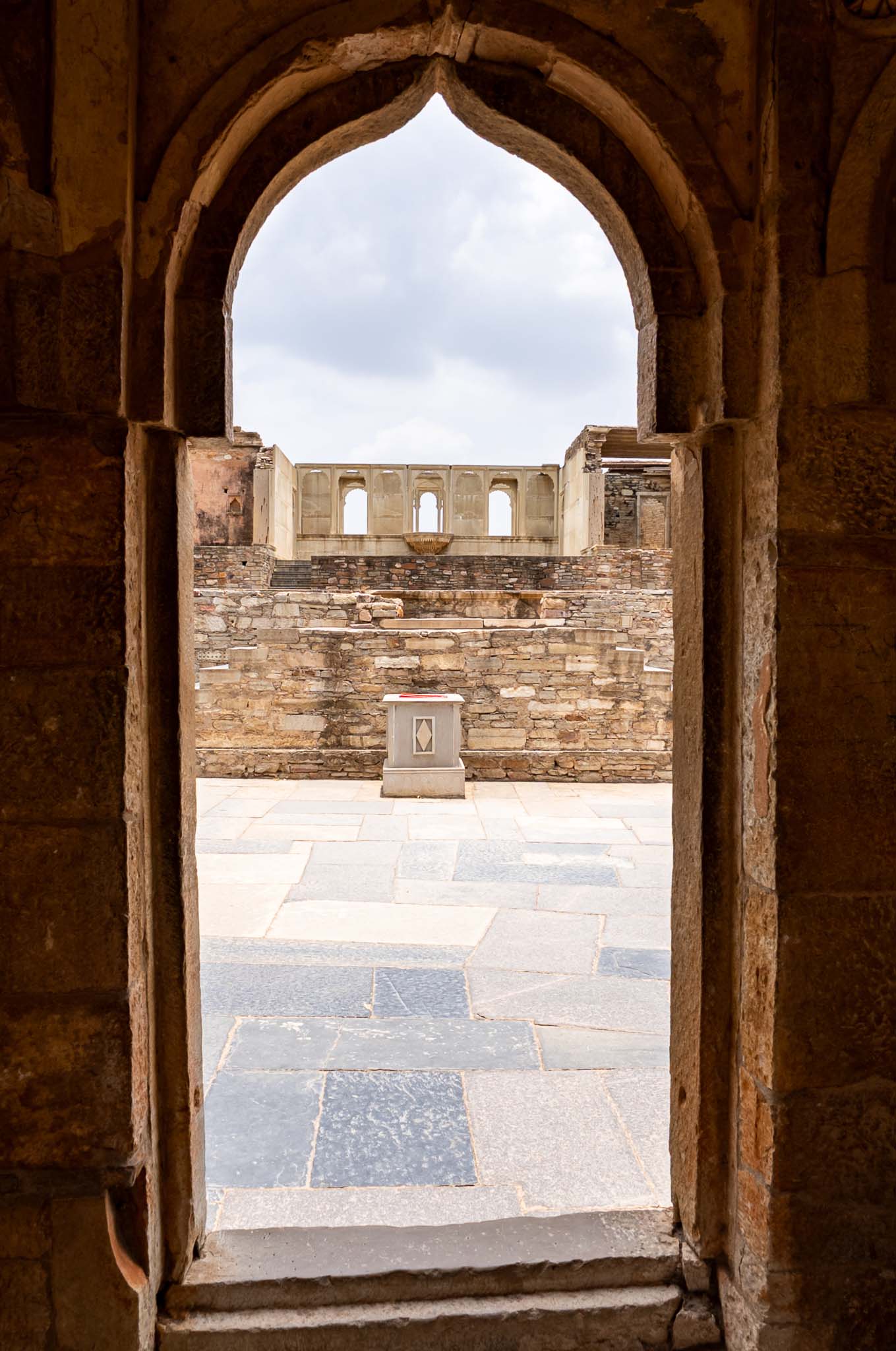
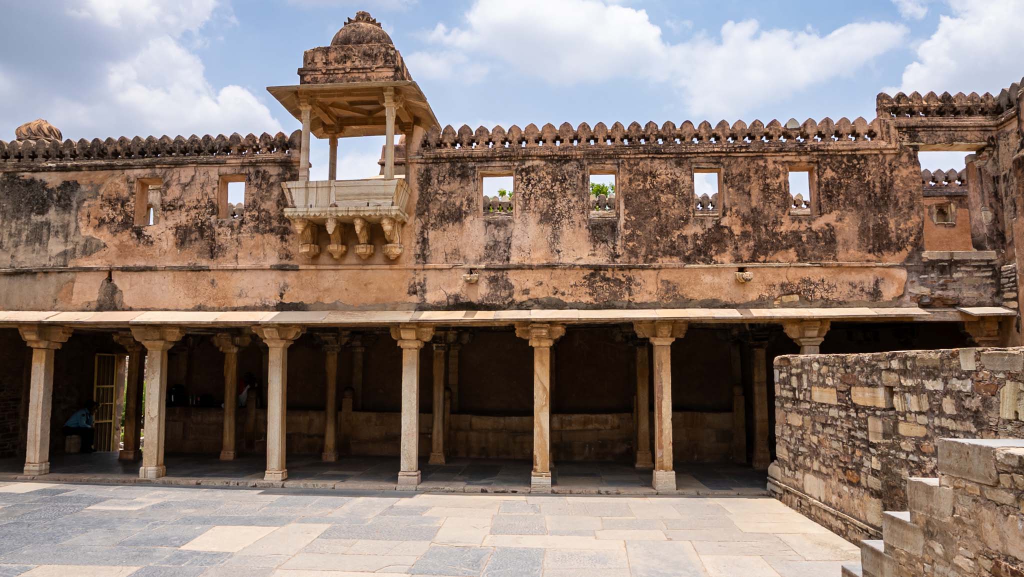
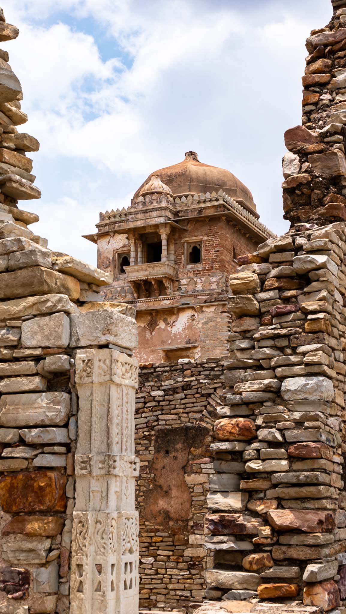
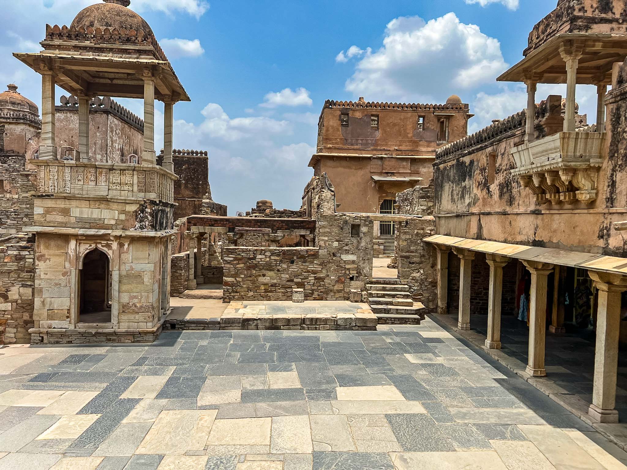
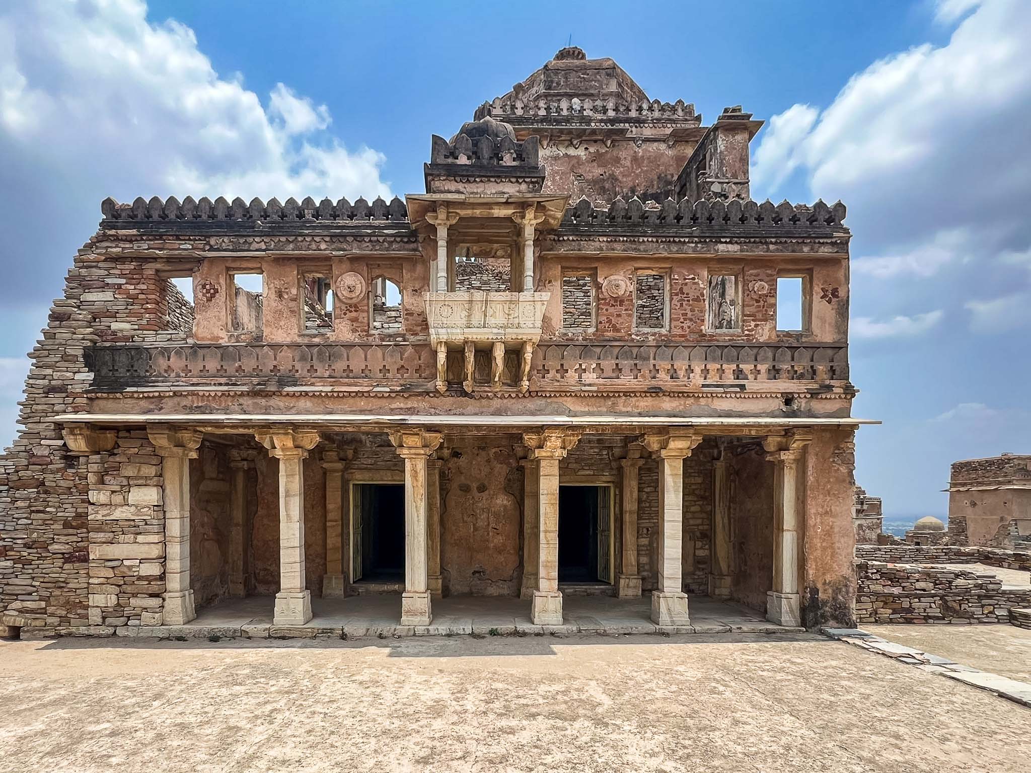
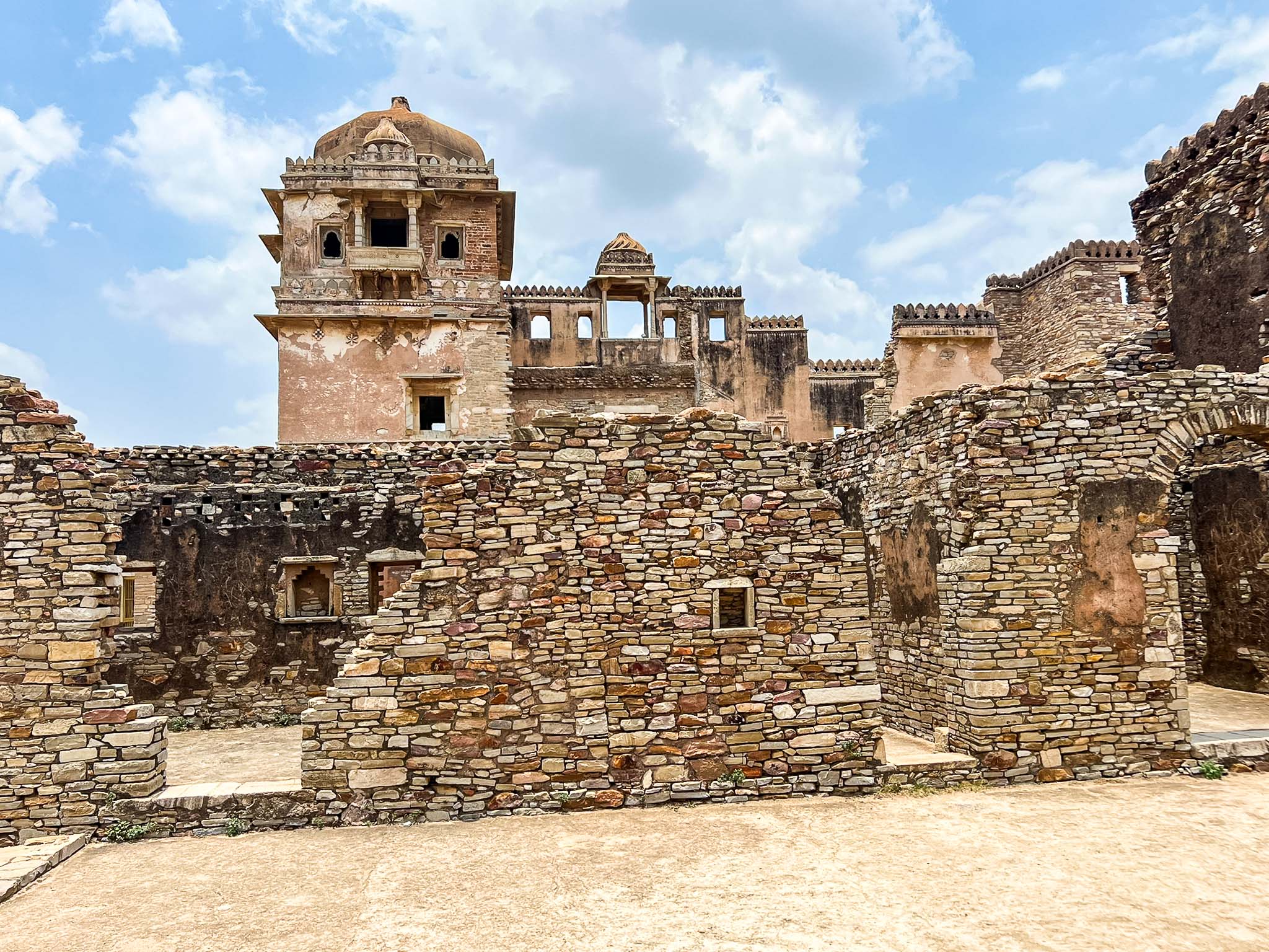
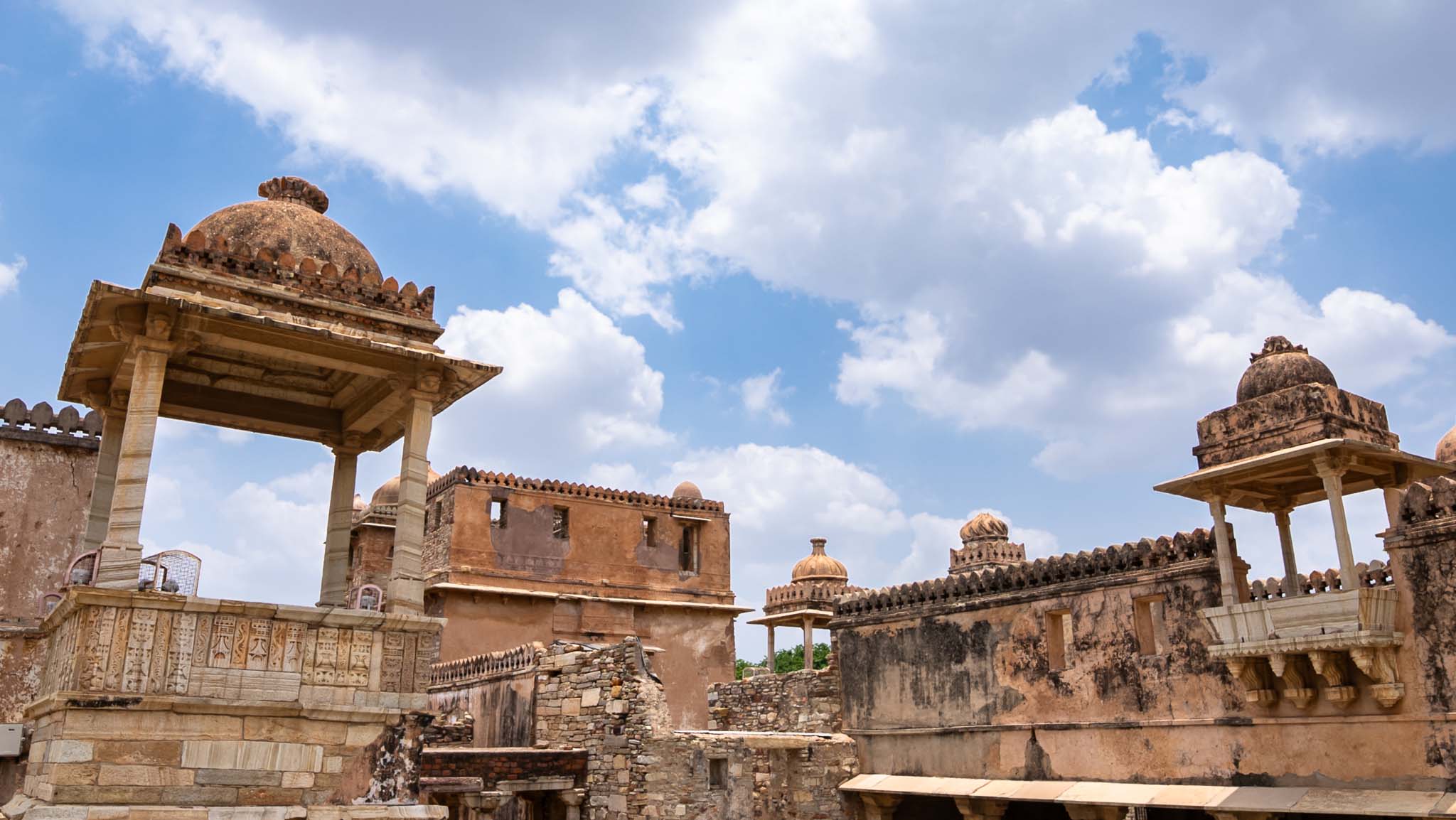
The palace complex includes multiple courtyards, halls, corridors, and subterranean chambers. Although much of the structure now survives in ruins, its scale indicates its importance as a principal royal residence. As we move through the remains, the arrangement of spaces suggests a hierarchical organization, with areas designated for administrative functions, private residence, and ceremonial use.
Larger halls were likely used for official or semi-public purposes, while smaller rooms and enclosed sections served domestic functions. The presence of underground chambers indicates considerations of both security and climate control. The palace is also associated in historical narratives with events during sieges, including those related to Jauhar, which contributes to its significance within the fort complex.
Padmini Palace
The Padmini Palace is located near a water tank and is traditionally associated with Rani Padmini. The structure itself is relatively modest in scale but notable for its setting.
The palace is designed as a pavilion within a water complex. The surrounding water creates a controlled environment, reflecting both aesthetic and strategic considerations. Water in such settings often served multiple purposes, including cooling, reflection, and defensive separation.
The association with Rani Padmini comes from later literary traditions, particularly accounts linked to the siege by Alauddin Khalji. While the historical accuracy of these narratives is debated, they remain an important part of the cultural memory of this place. The structure appears to have functioned as a retreat within the larger fort, offering relative separation from more densely built areas.
Meera Temple
The Meera Temple is associated with Meerabai, a prominent figure in the Bhakti movement. Her connection to Chittorgarh extends the significance of the site beyond its political history into a broader cultural and devotional context.
The temple is modest in scale compared to the surrounding palaces but is architecturally consistent with regional styles, featuring carved pillars and a sanctum for worship. Its design emphasizes function over display, serving as a space for devotional practice. As we move through the temple, the contrast with the fort’s larger structures becomes evident.
Kalika Mata Temple
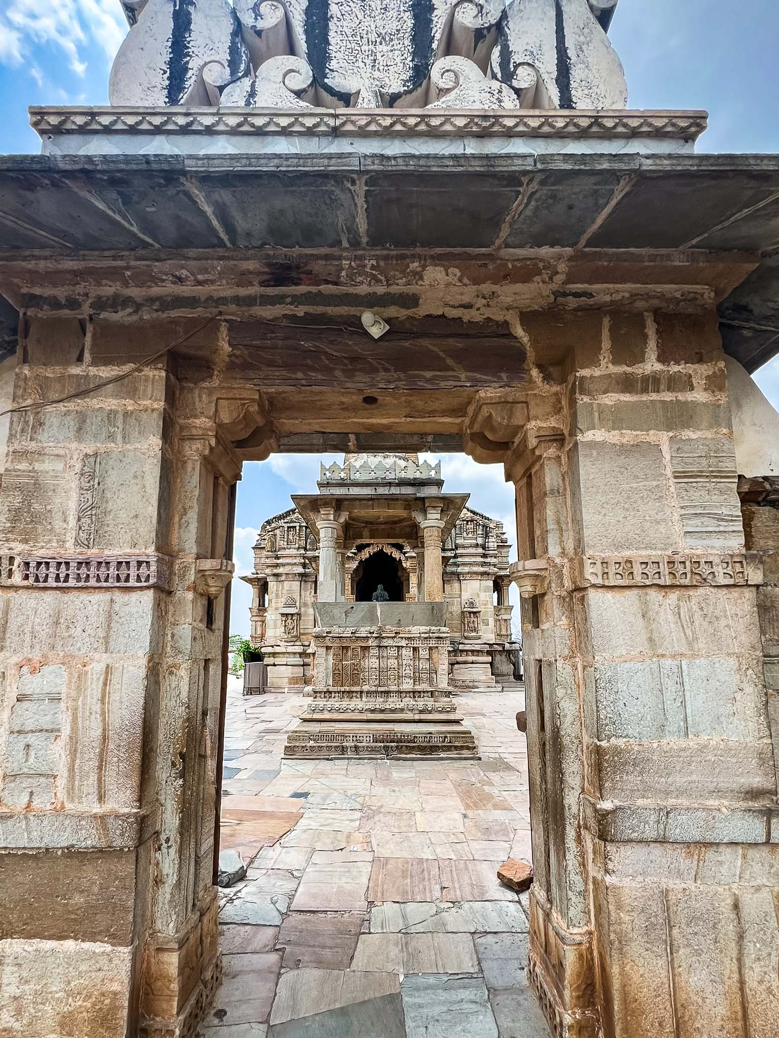
The Kalika Mata Temple is one of the oldest structures within the fort. It is believed to have originally been constructed as a Sun temple before being adapted for the worship of the goddess Kali. This transition reflects broader patterns of religious continuity and transformation in the region.
The structure shows evidence of modification over time, with earlier elements coexisting alongside later additions. Unlike many other buildings within the fort, it continues to function as an active place of worship. This continuity distinguishes it from the surrounding ruins and connects the historical Chittorgarh with present-day practices.
Kumbha Shyam Temple
The Kumbha Shyam Temple, associated with the period of Rana Kumbha, is dedicated to Vishnu and reflects the architectural style of the time. The structure includes carved pillars, a defined sanctum, and a structured layout typical of temple architecture in the region.
The temple reflects the role of royal patronage in supporting religious institutions and indicates how religious practices were integrated into daily life within the fort.
Vijay Stambh
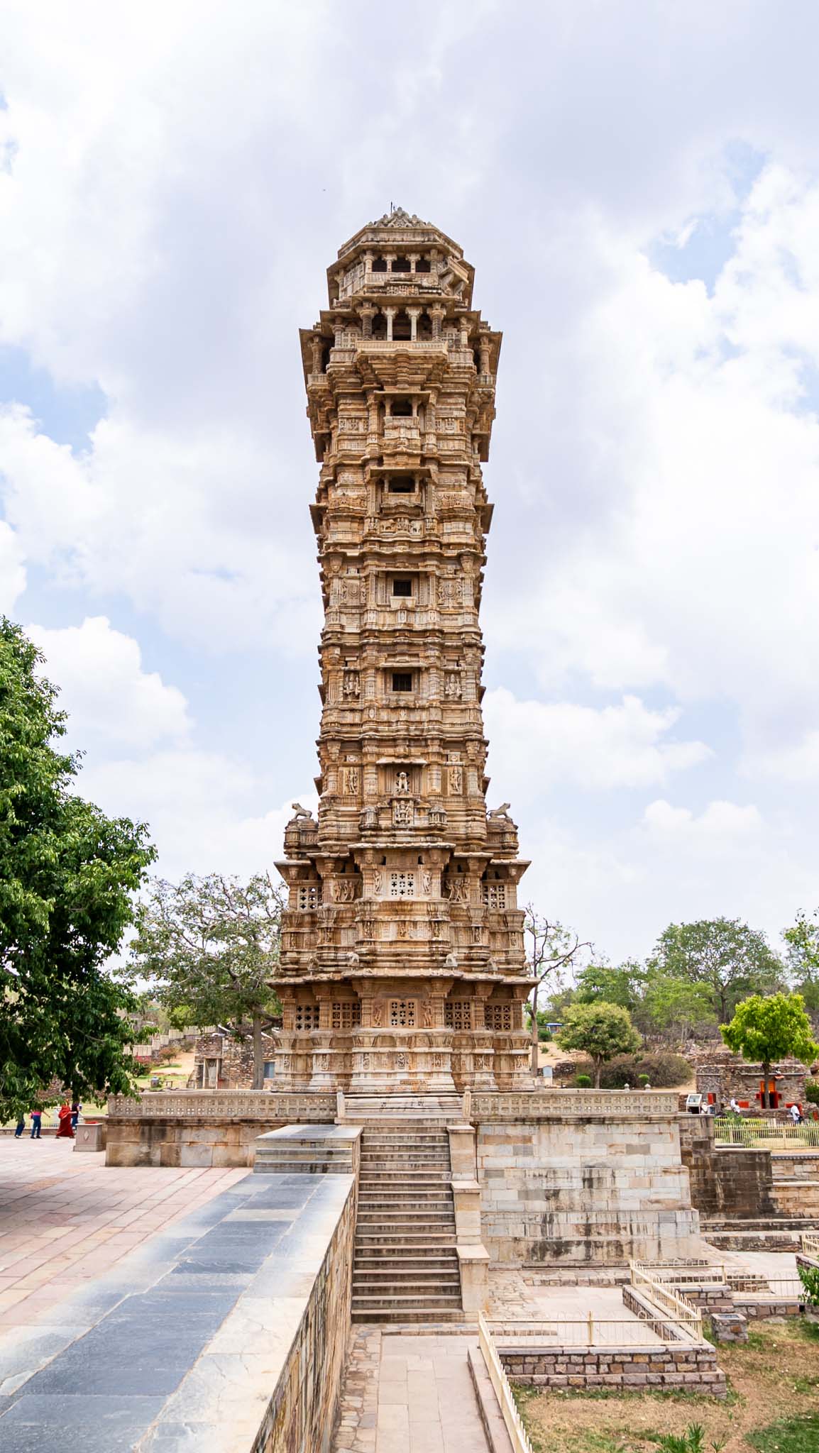
The Vijay Stambh, or Victory Tower, is one of the most prominent structures within the fort. Built by Rana Kumbha to commemorate a military victory, it rises above the surrounding landscape and serves as a visual landmark.
The tower is characterized by detailed carvings and inscriptions that provide both decorative and historical information. Its vertical form contrasts with the horizontal spread of the fort, making it a focal point within the landscape. It functions as both a commemorative monument and a statement of authority.
Samadhishwara Temple
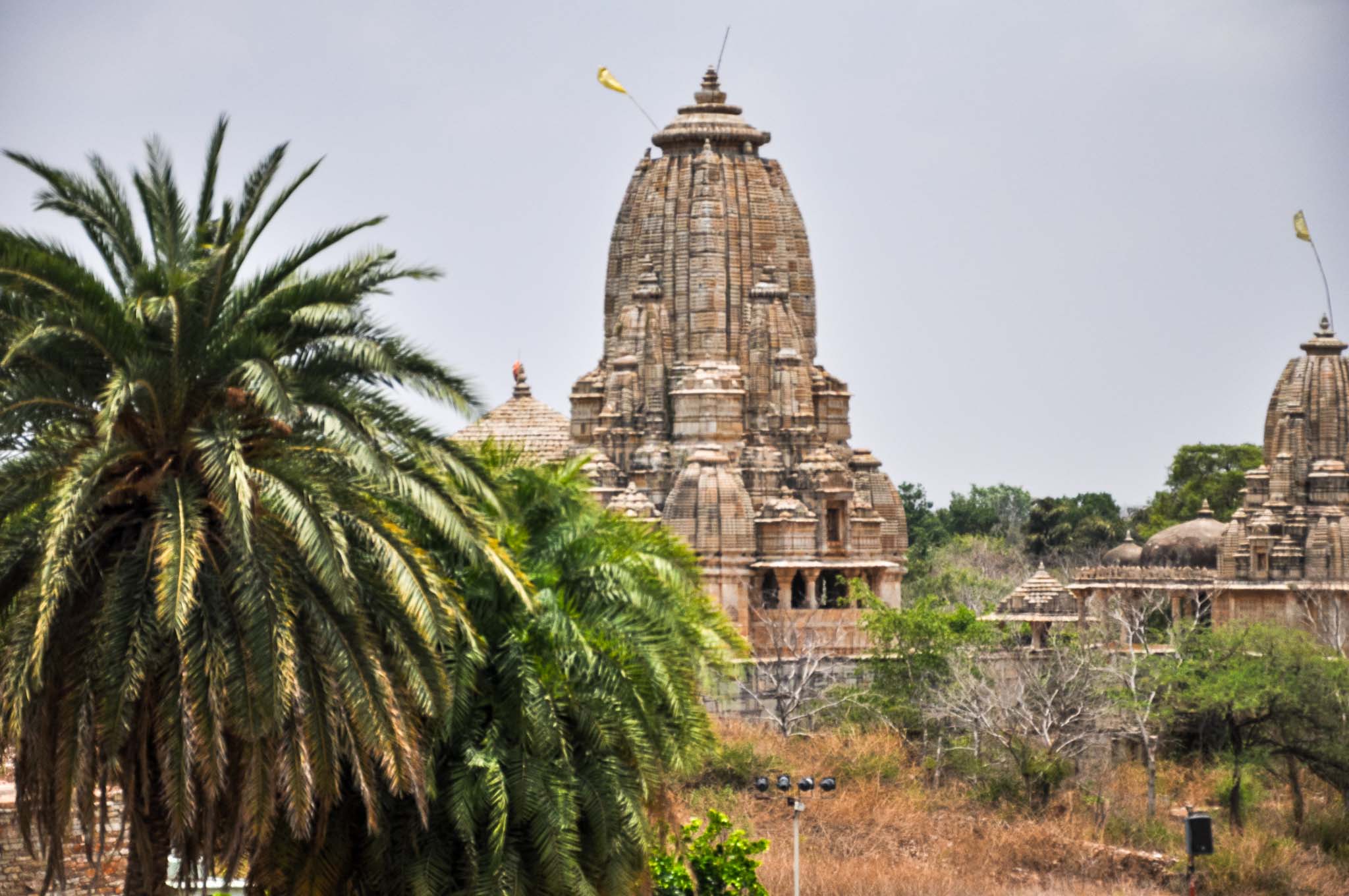
The Samadhishwara Temple is a prominent Shaivite shrine in the fort complex which features Shiva as deity. The edifice is believed to date back to the early medieval period, with later changes made during the reign of the Mewar kings.
The temple has a conventional plan consisting of a sanctum containing linga, a mandapa and an entrance porch. Carved panels and other sculptural details adorn the exterior walls, in keeping with architectural styles from the area. Unlike other temples in Chittorgarh which may relate to specific and later individuals or traditions, Samadhishwara Temple embodies an ancient tradition of worship.
Kirti Stambh
The Kirti Stambh is an earlier tower associated with Jain tradition. It is dedicated to Adinatha, the first Jain Tirthankara, and was built by a Jain merchant.
Although smaller than the Vijay Stambh, it is significant in demonstrating the presence of Jain communities within Chittorgarh. The carvings on the tower reflect Jain iconography and contribute to the cultural diversity of the fort The coexistence of such structures highlights the integration of different religious traditions within the fort.
Ruins and Water Systems
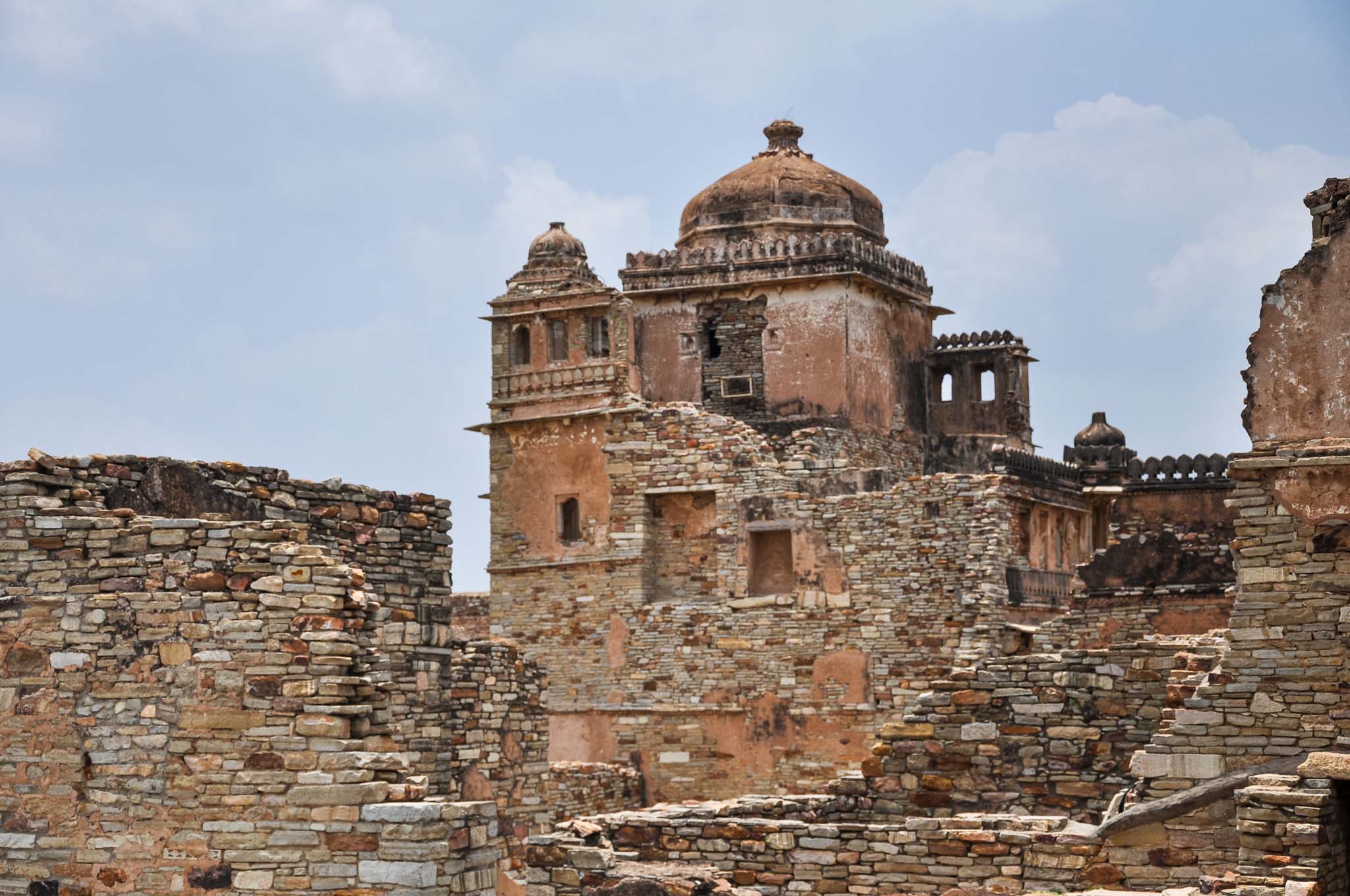
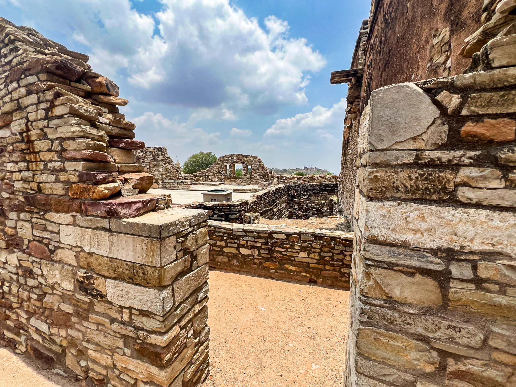
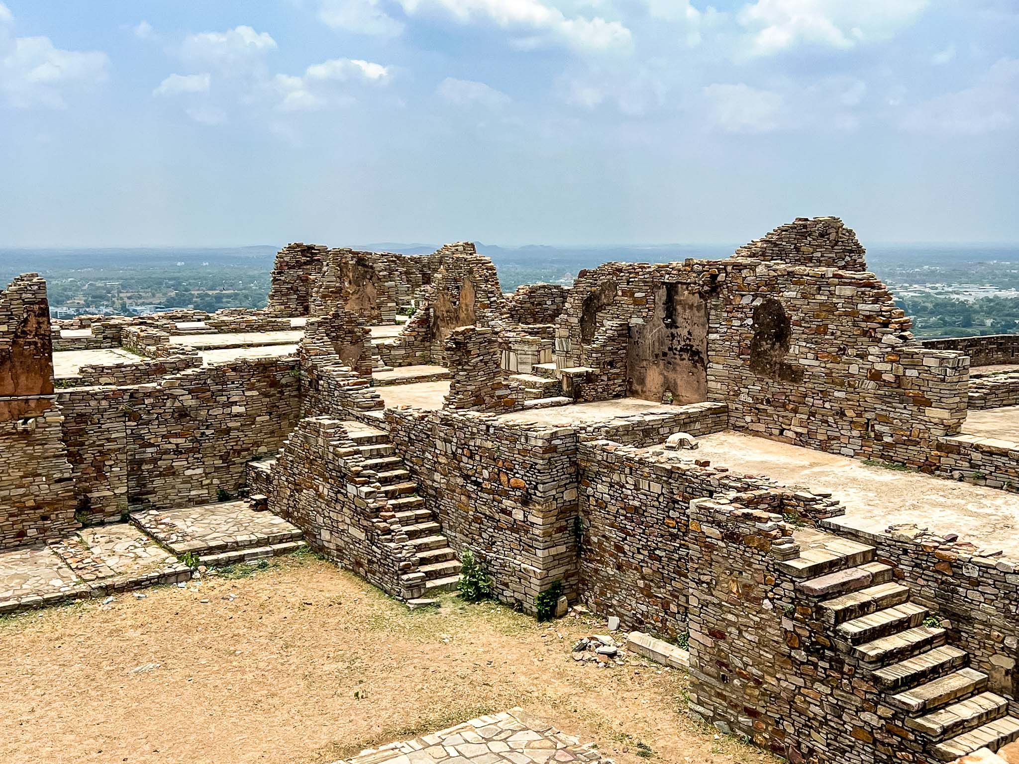
A large portion of Chittorgarh today exists in the form of ruins. As we move across the plateau, we encounter remains of residential structures, boundary walls, and pathways that once connected different parts of the fort. These remnants provide insight into the scale and organization of the settlement. The spacing between structures suggests the presence of streets and open areas that are no longer clearly defined. The ruins are dispersed rather than continuous, requiring interpretation to understand their original context.
Water systems remain among the most important surviving features. Tanks, reservoirs, and stepwells were designed to collect and store rainwater, ensuring the sustainability of the population during sieges. These systems reflect careful planning and efficient resource management.
Jauhar
Chittorgarh is historically associated with the practice of Jauhar, particularly during major sieges. Historical accounts describe instances in which groups of women are believed to have committed self-immolation when defeat was imminent, while the men engaged in final defensive battles.
These events are most closely associated with the sieges of 1303, 1535, and 1568. While details vary across sources, these narratives have become central to the historical memory of Chittorgarh and are often interpreted within the broader framework of resistance and honor in Rajput tradition.
Culture and Legacy
The cultural identity of Chittorgarh is closely tied to the traditions of Mewar, where themes of resistance, loyalty, and devotion are emphasized. Even after the capital shifted to Udaipur, Chittorgarh continued to hold symbolic importance. It remains a key reference point in the history of the region and continues to be studied for its architectural, cultural, and historical significance.
Chittorgarh is best understood as a large historical landscape rather than a single monument. Its fortifications, palaces, temples, and ruins together represent the functioning of a major medieval capital. As we walked through this historical site, the scale of planning and the range of structures provided insight into military strategy, urban organization, and cultural life. The inscription “Our Heritage is our glory” reflects a continuing recognition of the fort’s historical importance and its role as a record of the past.