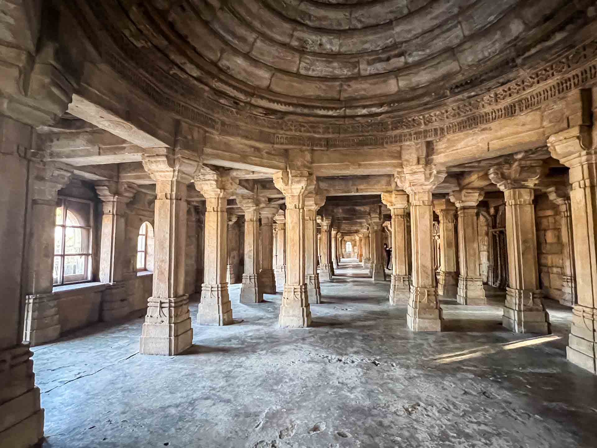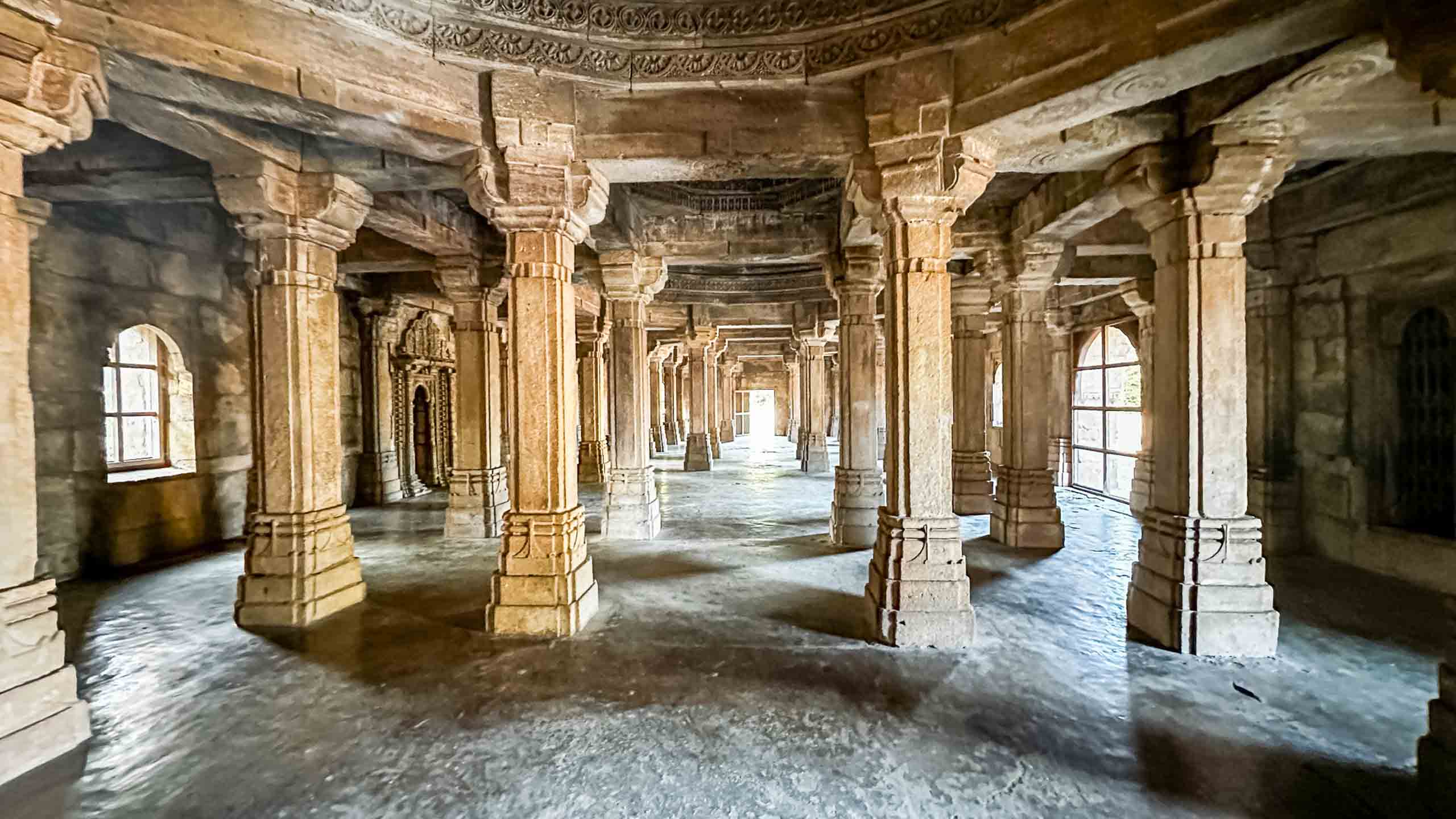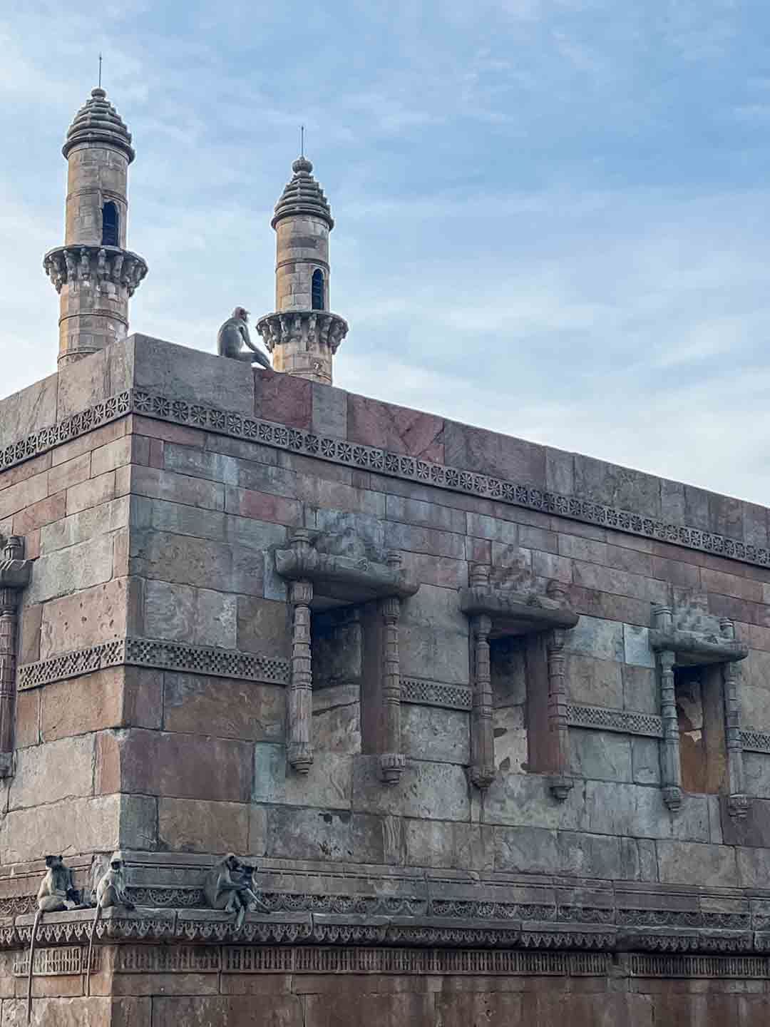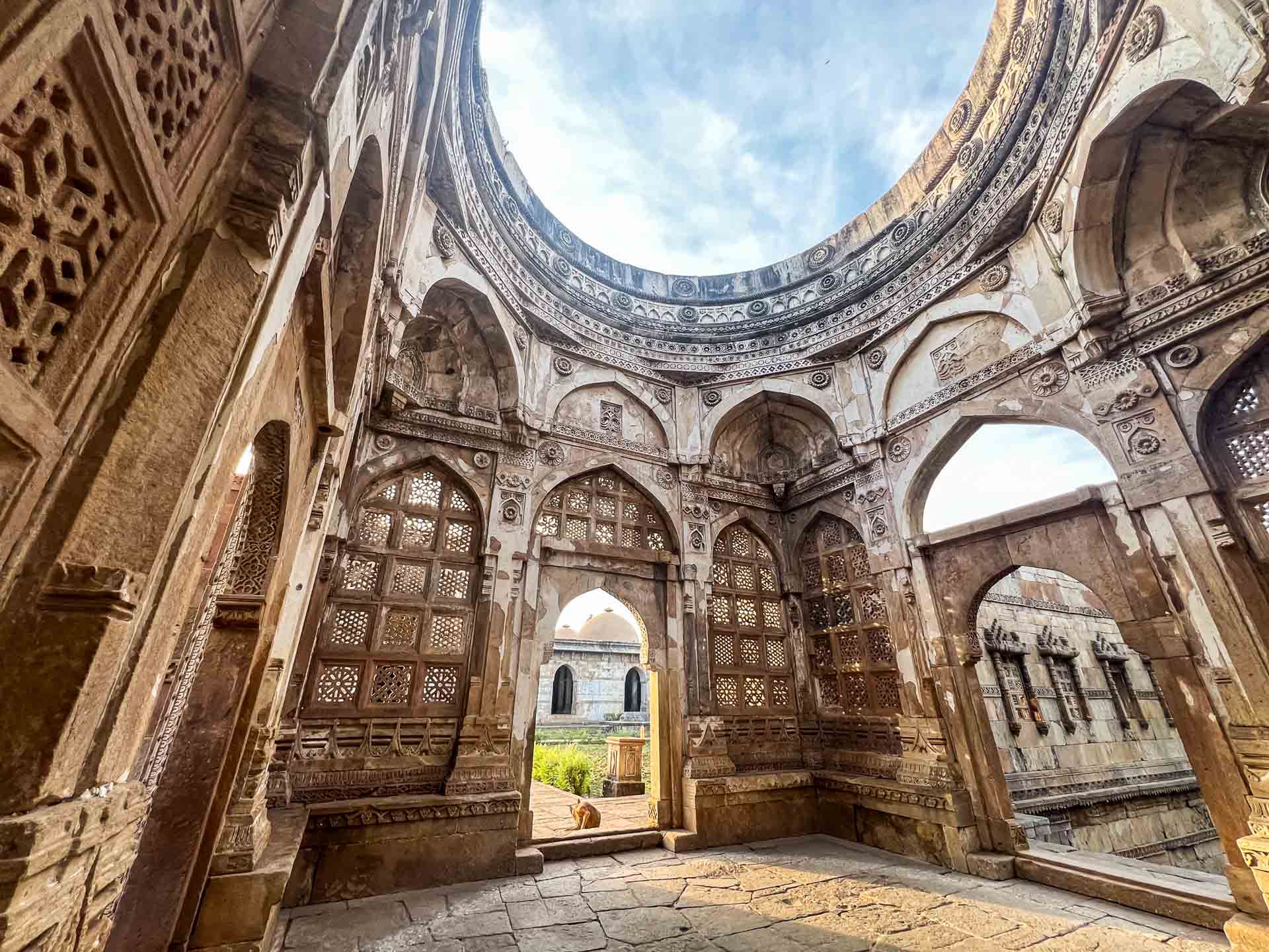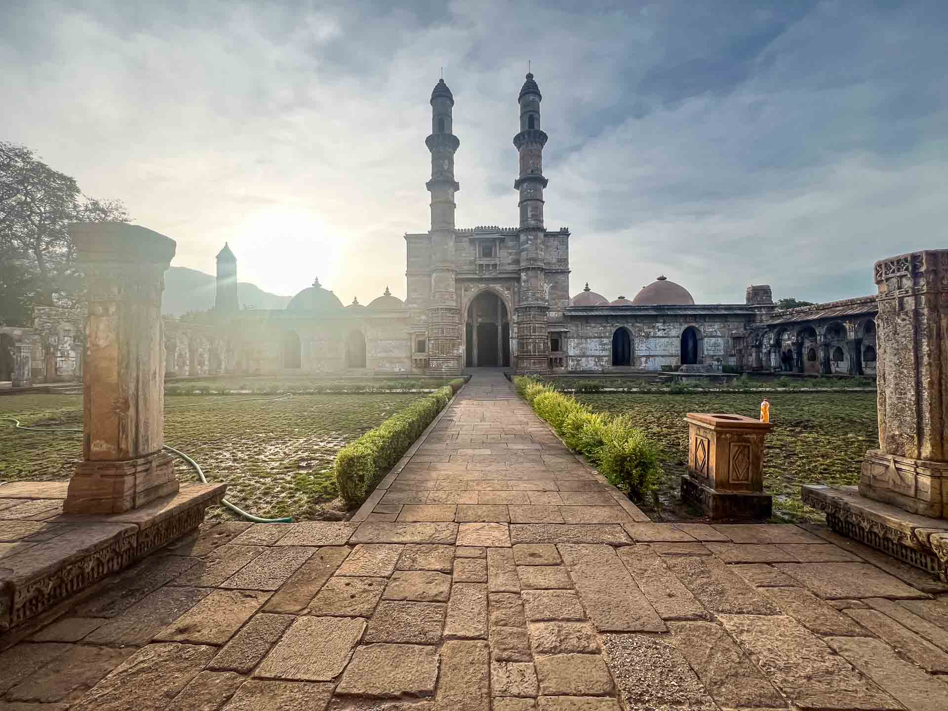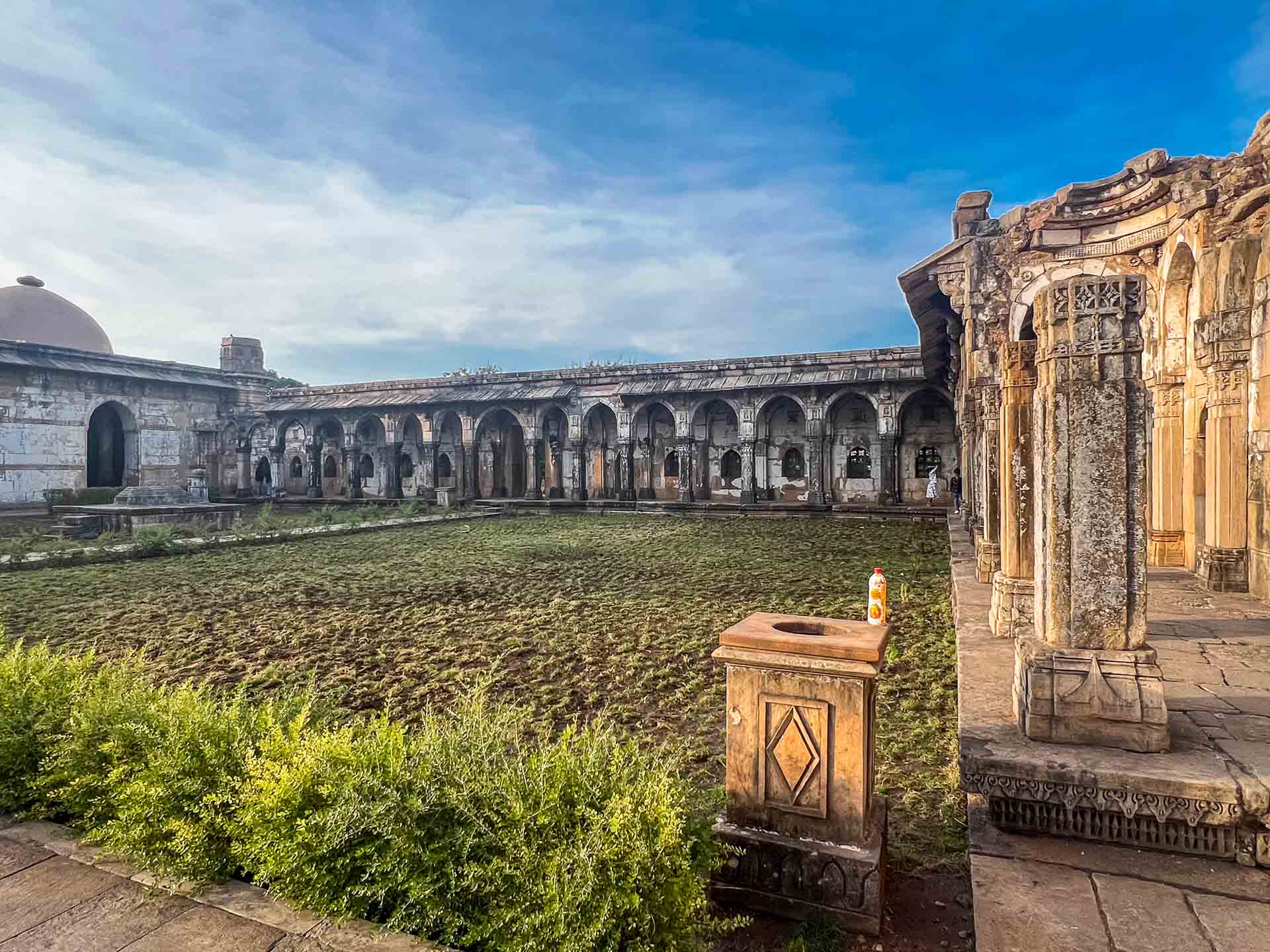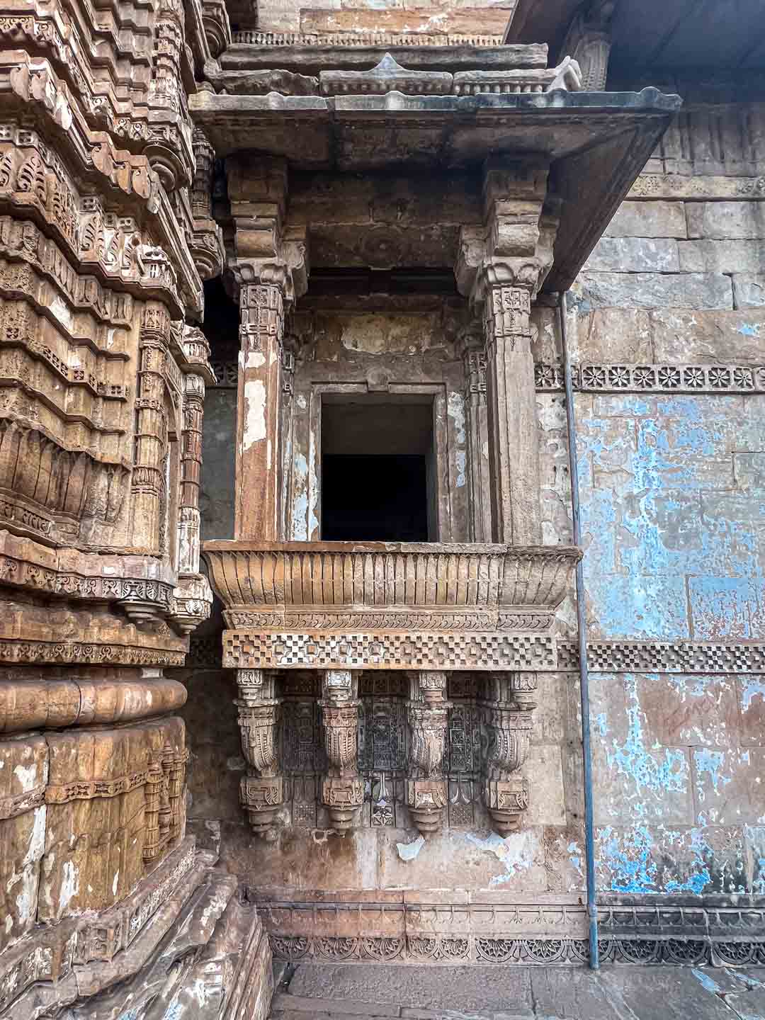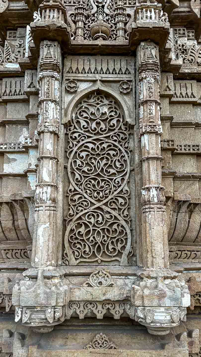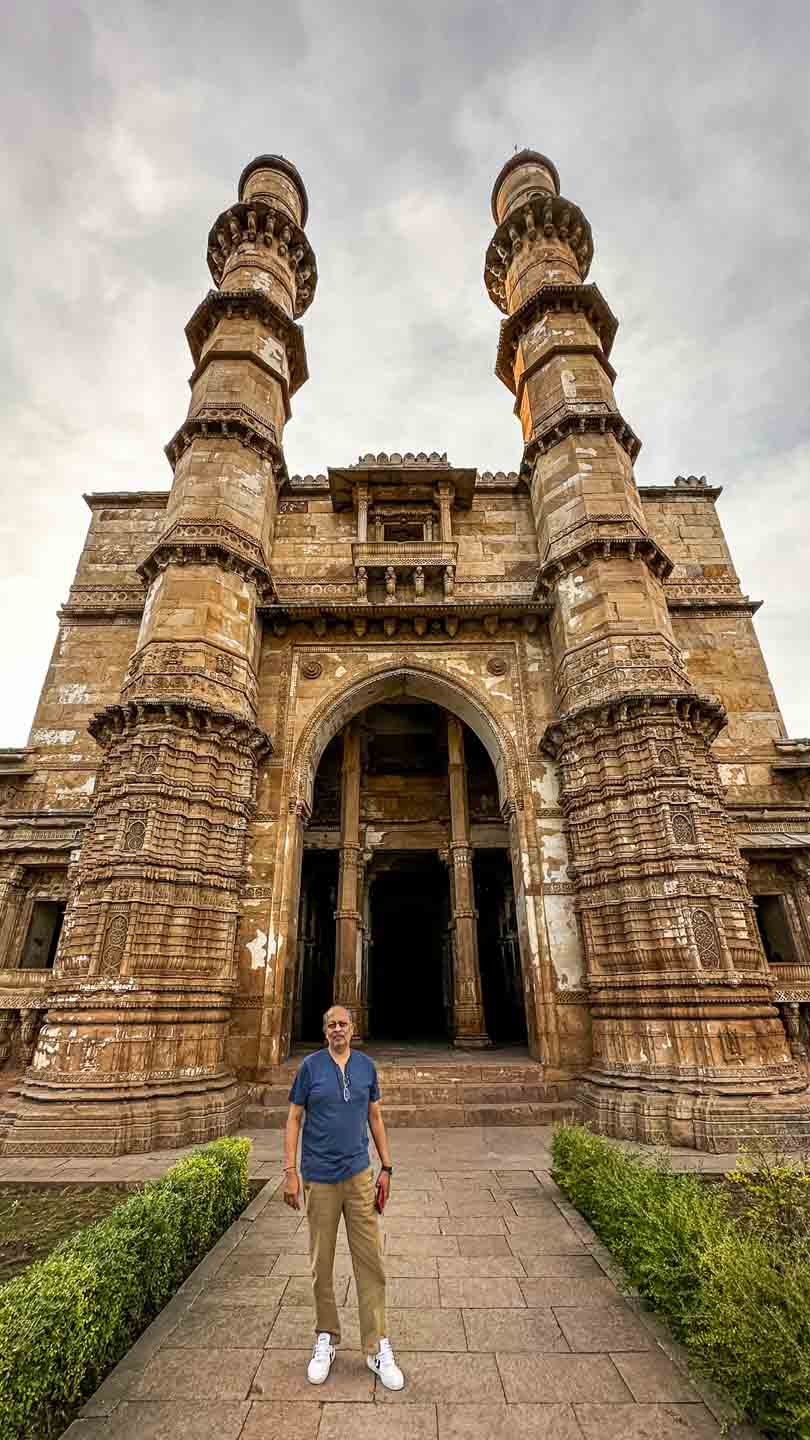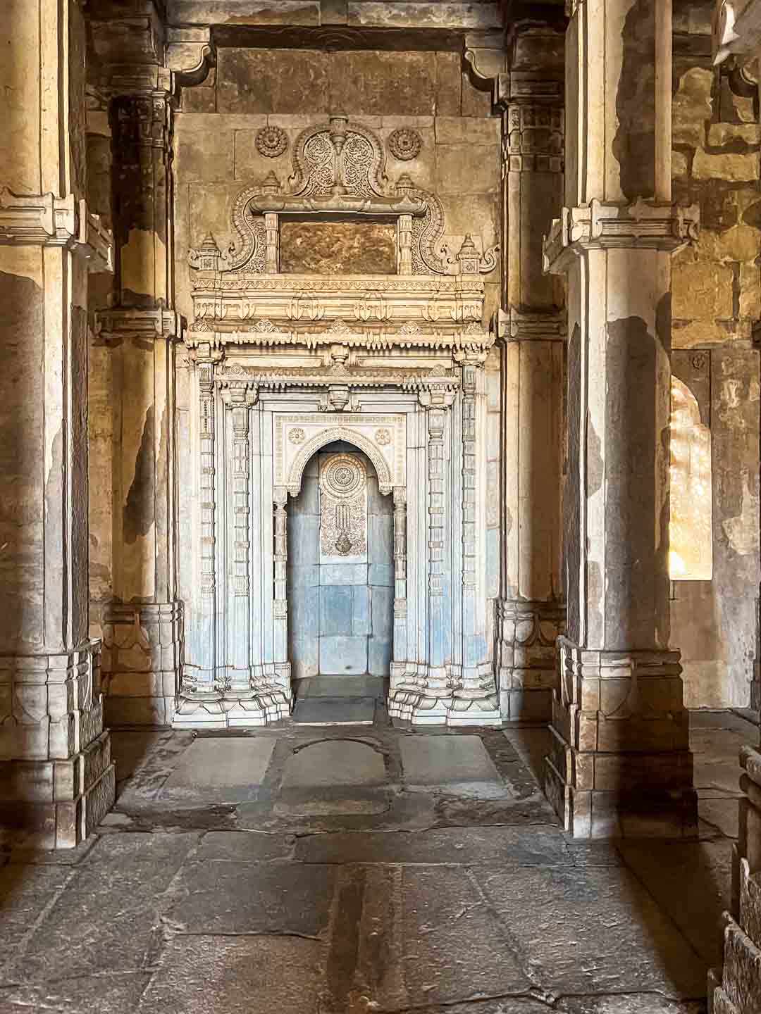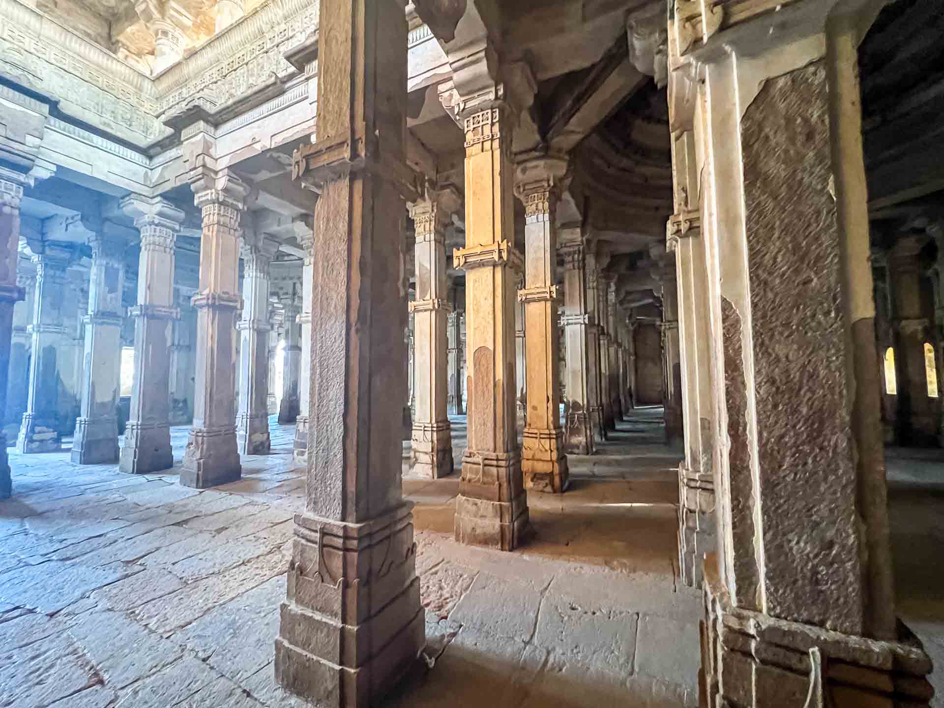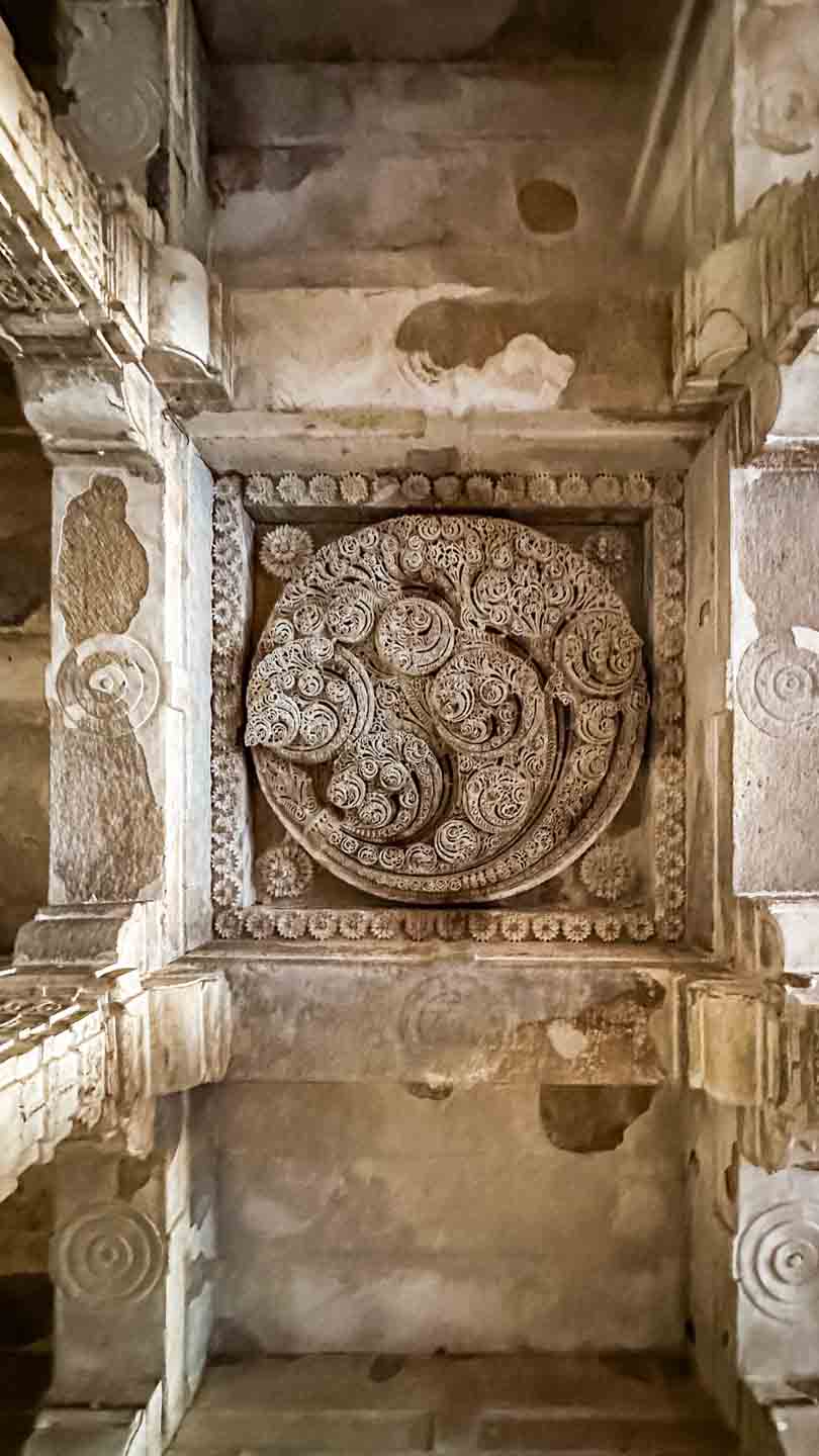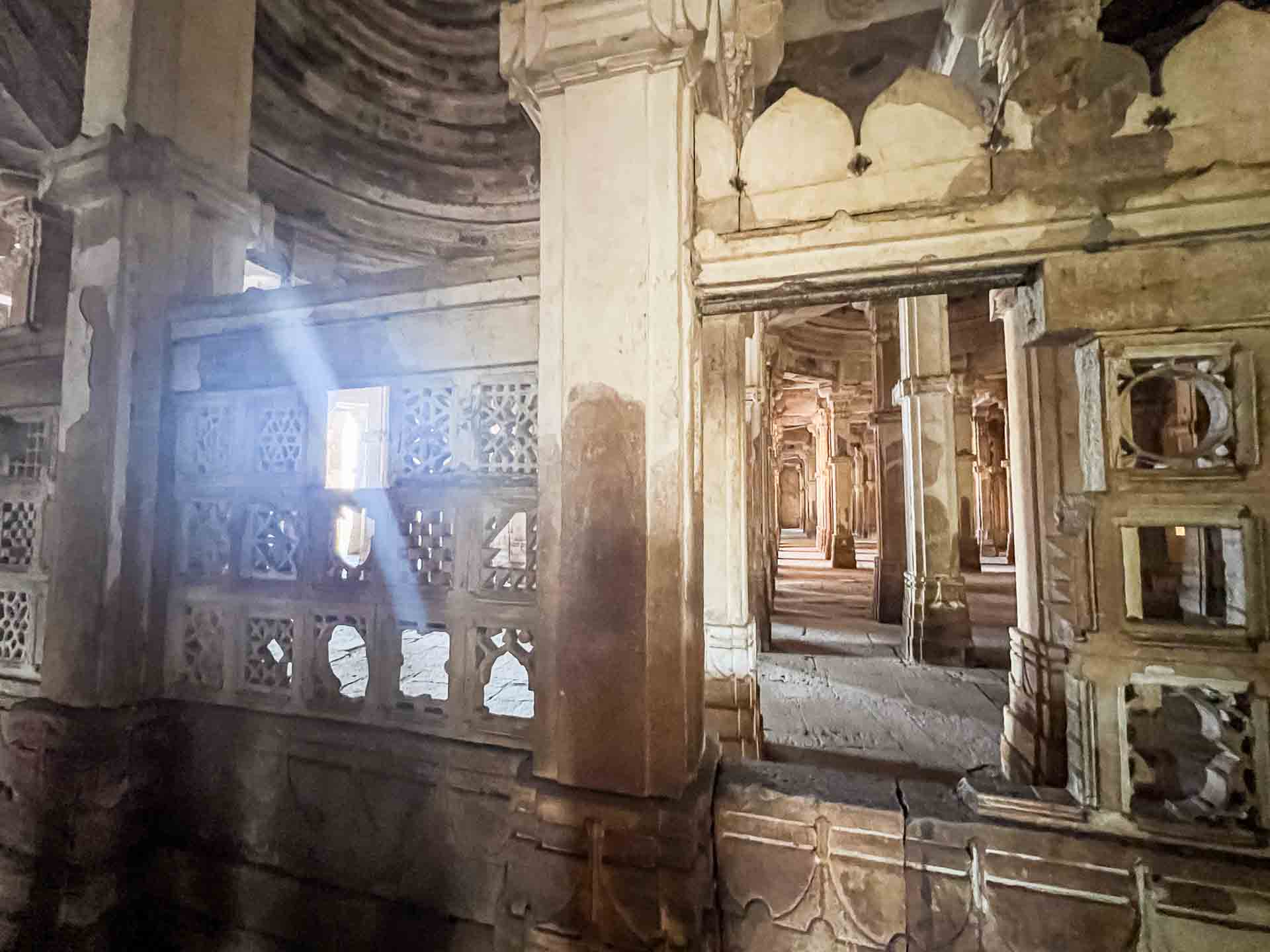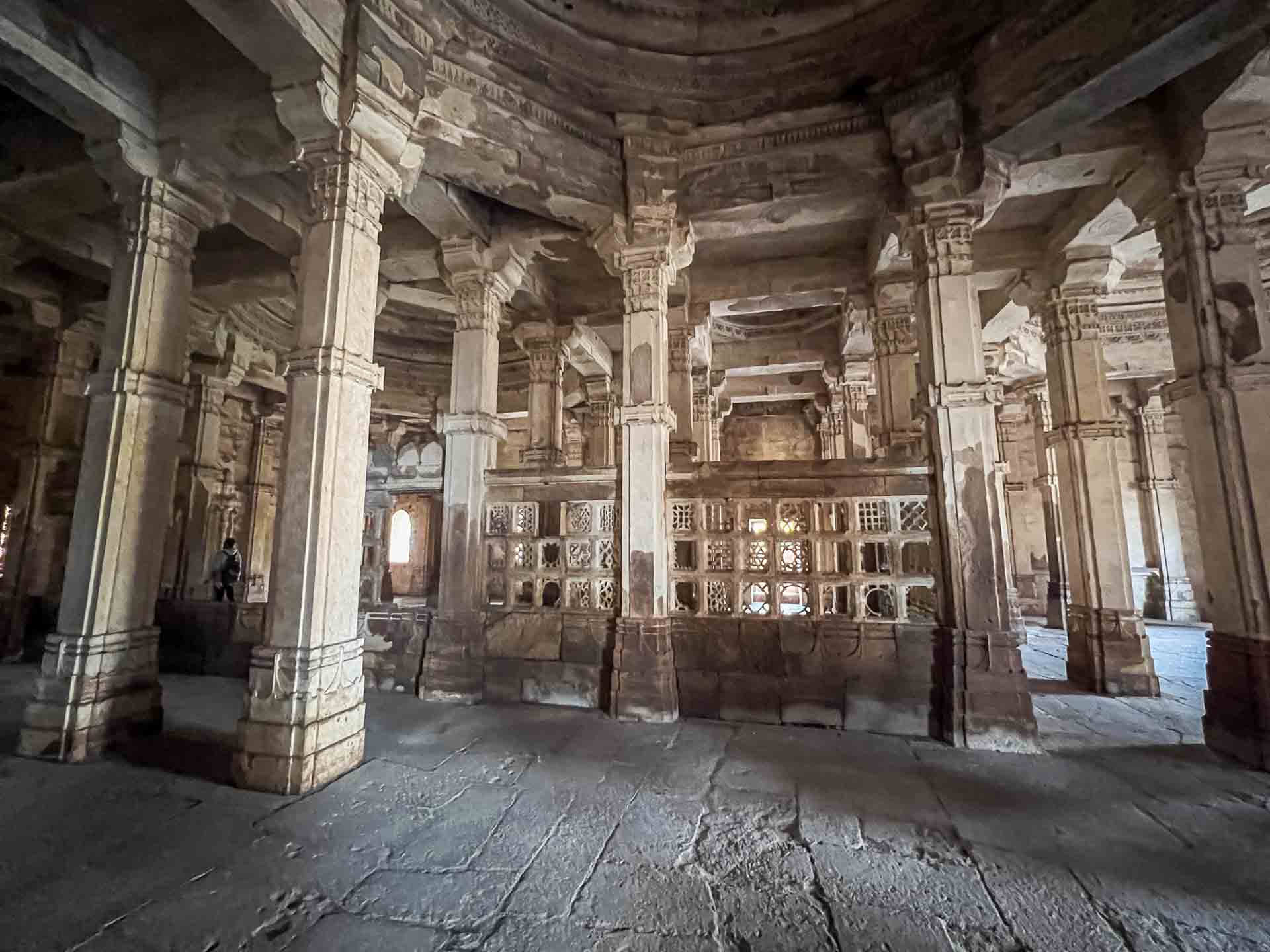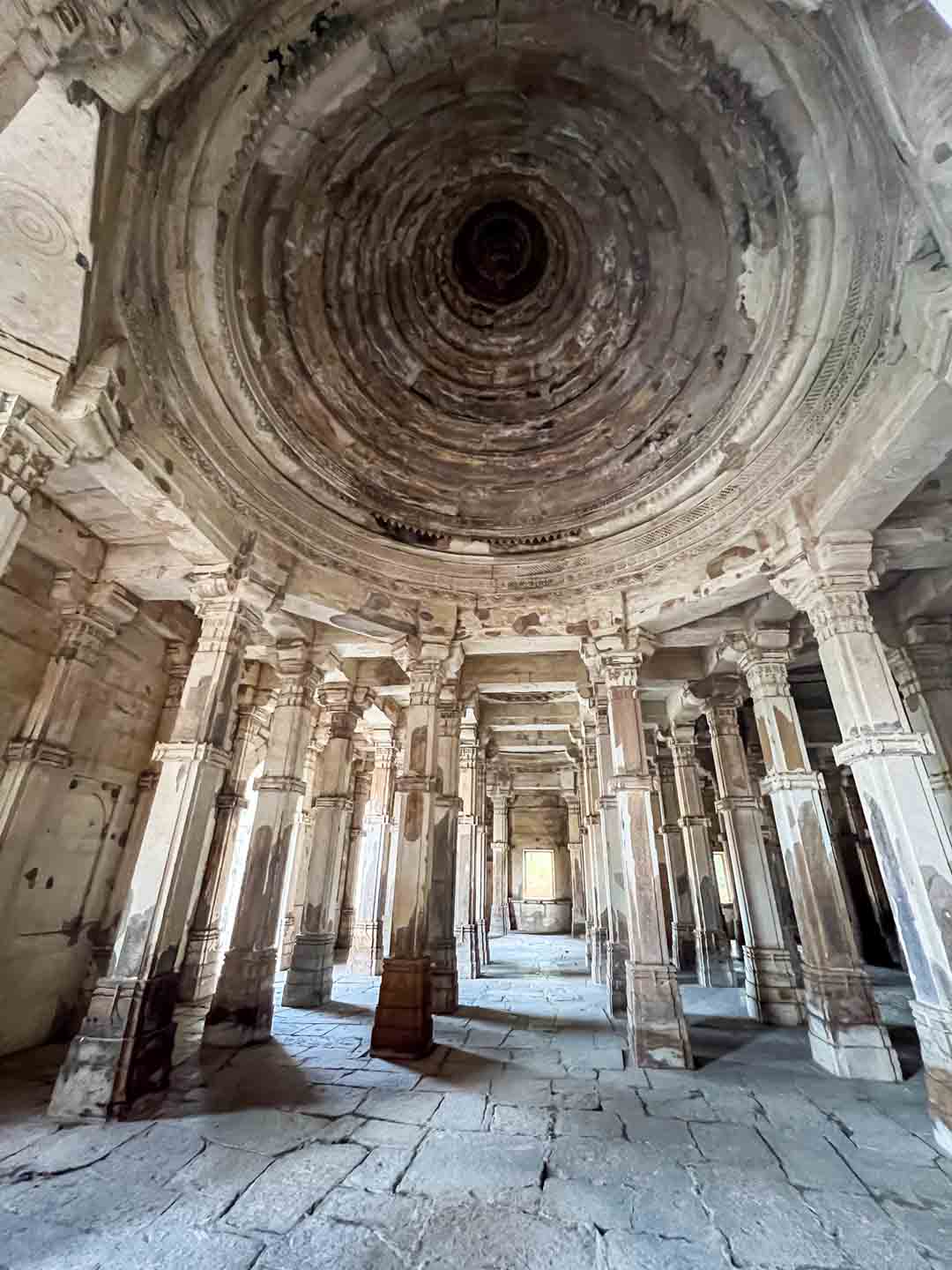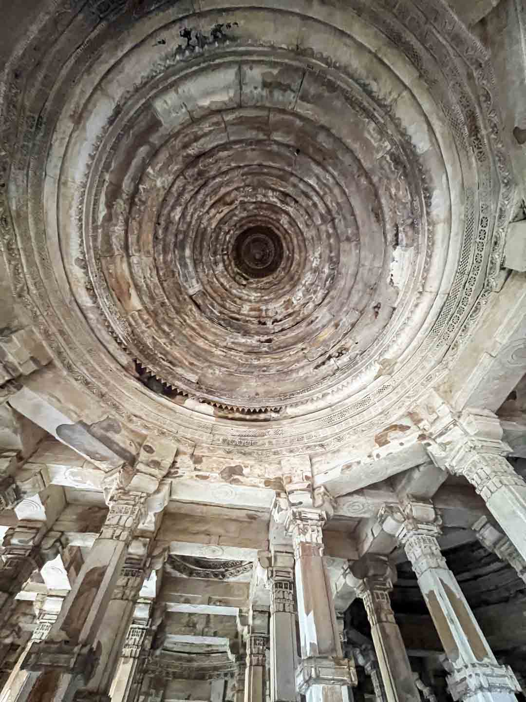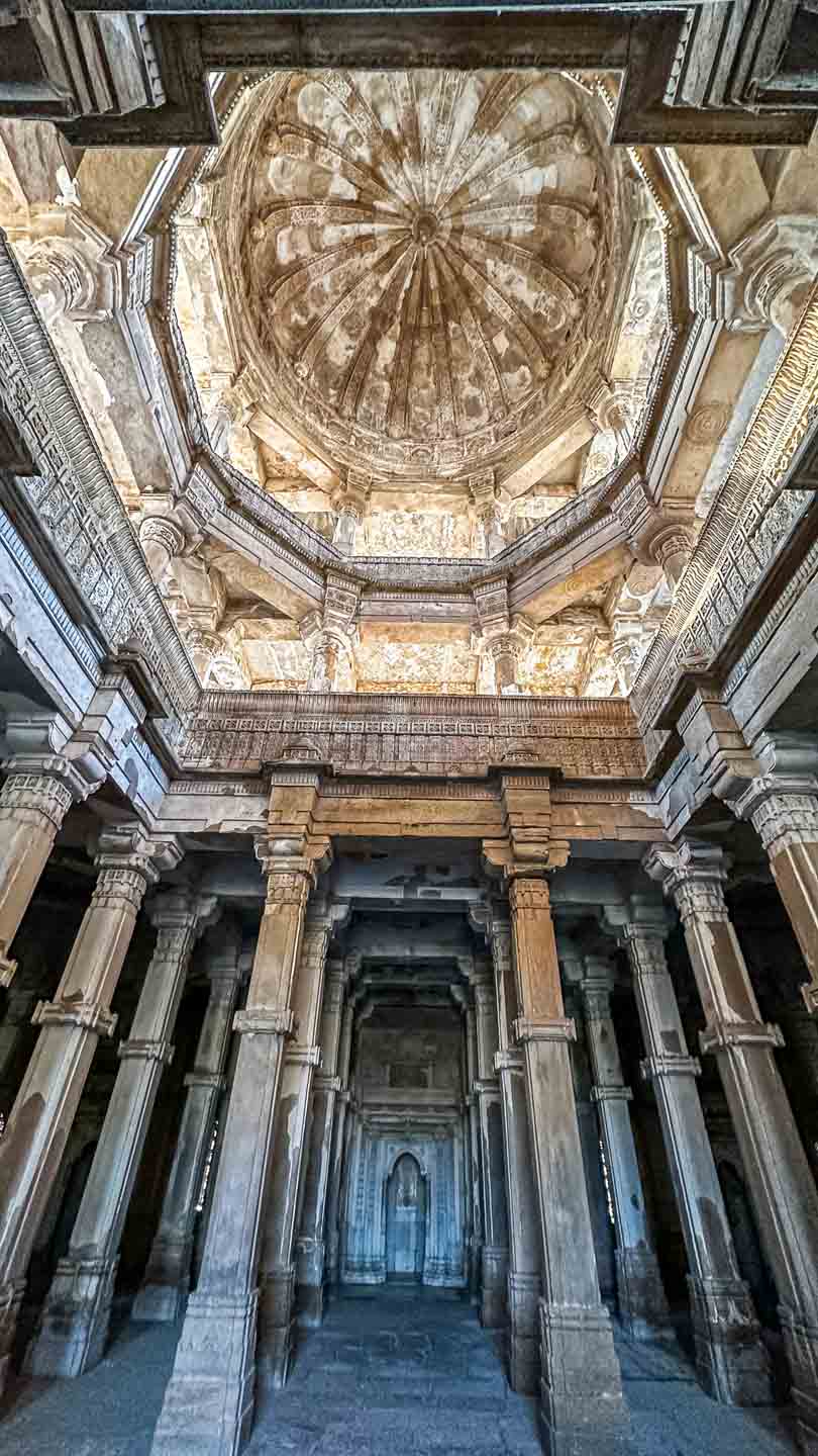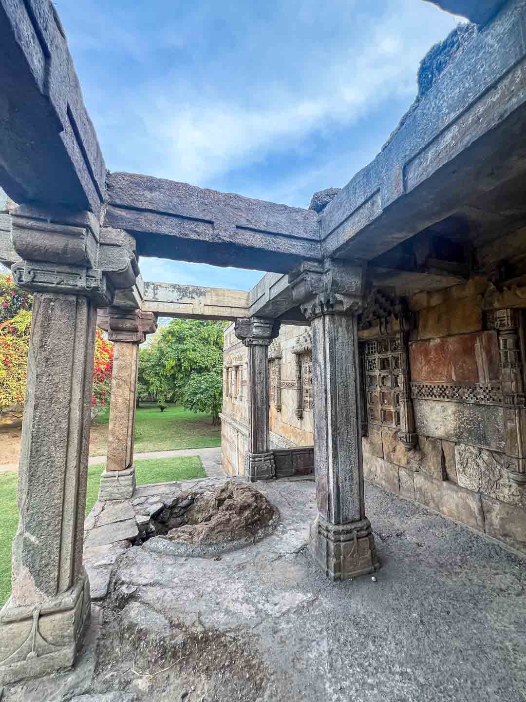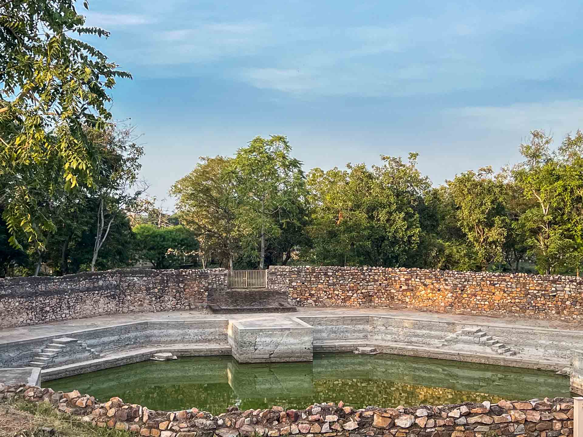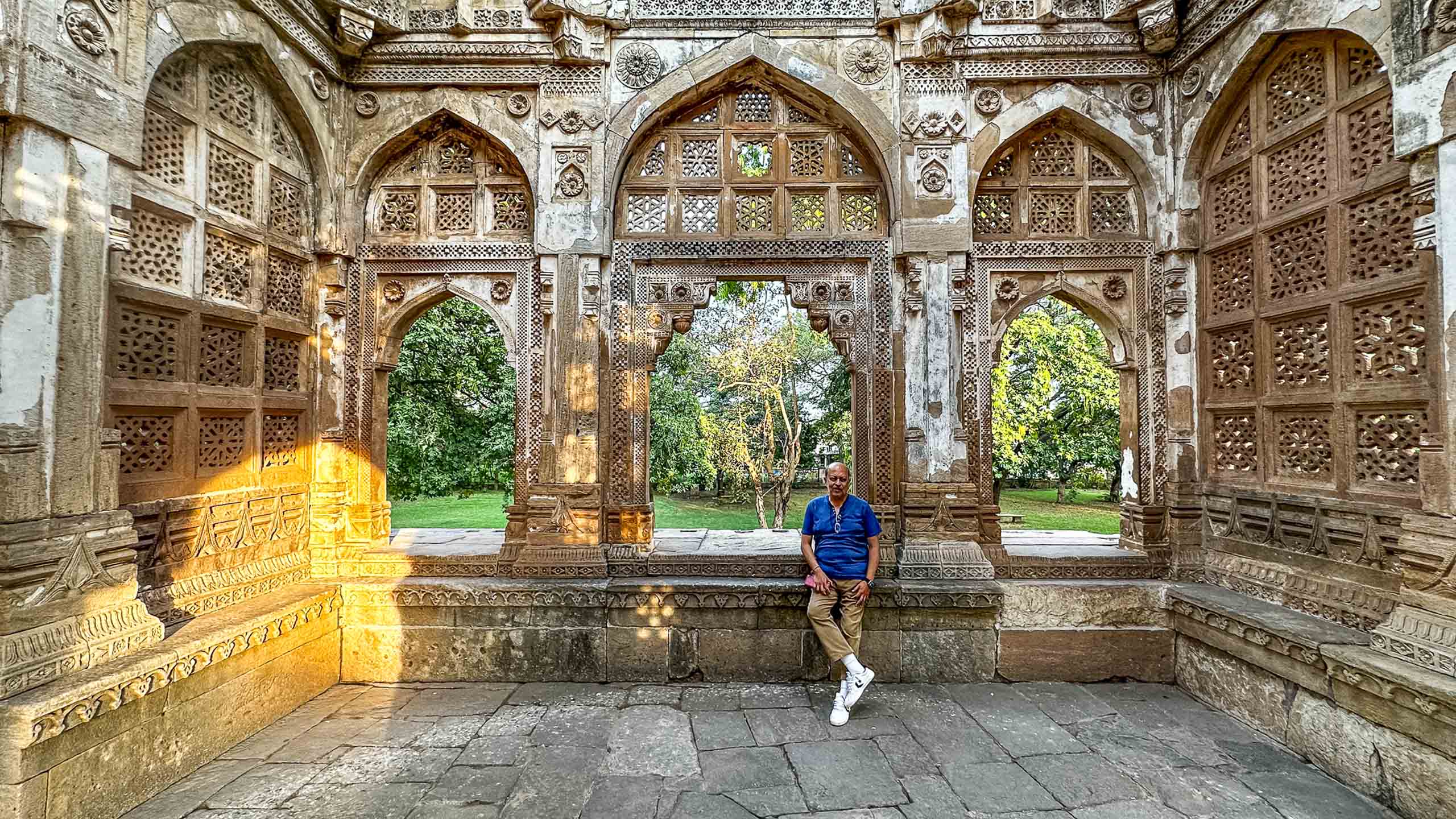
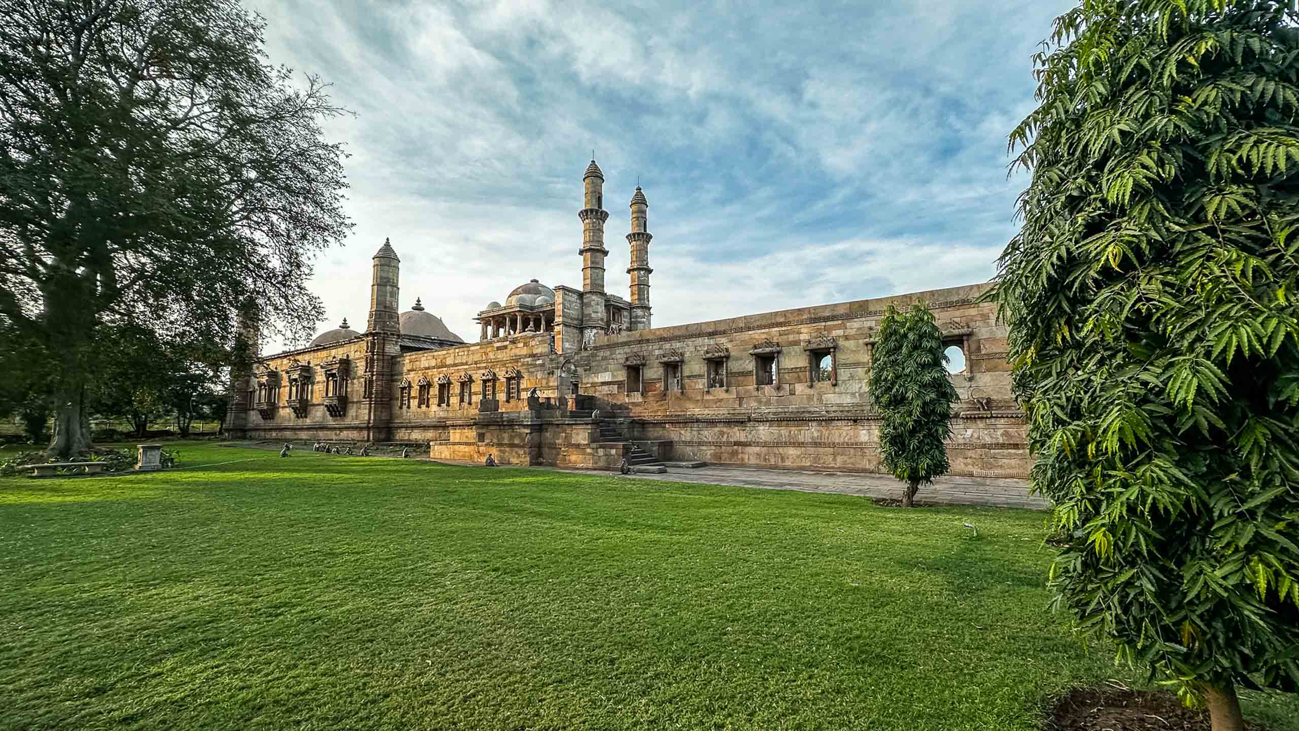
Farther east, in the plains of Gujarat, the landscape is interrupted by the steep rise of Pavagadh Hill. At its base lie the dispersed remains of Champaner, a historic settlement that developed into a significant capital in the late medieval period.
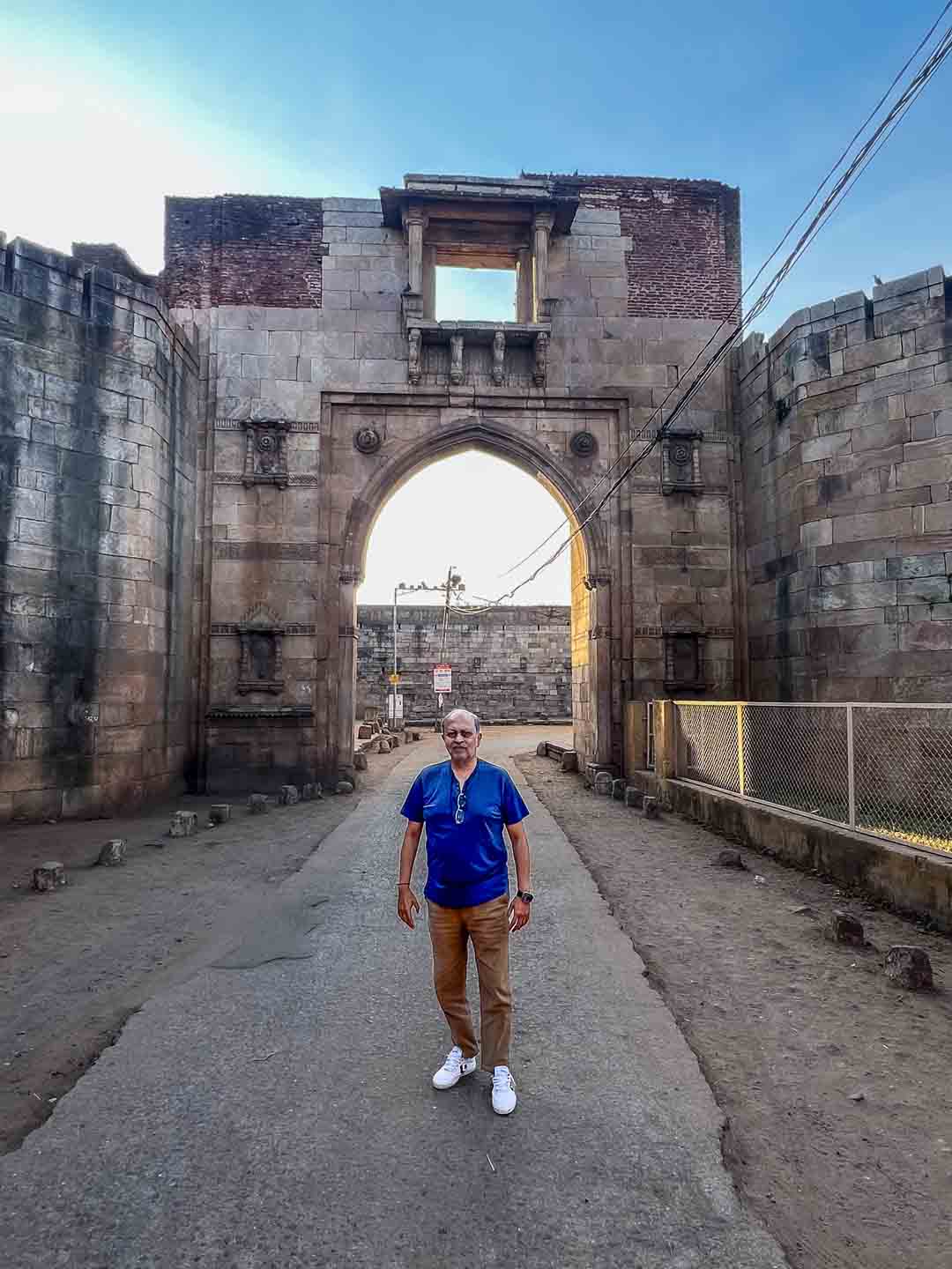
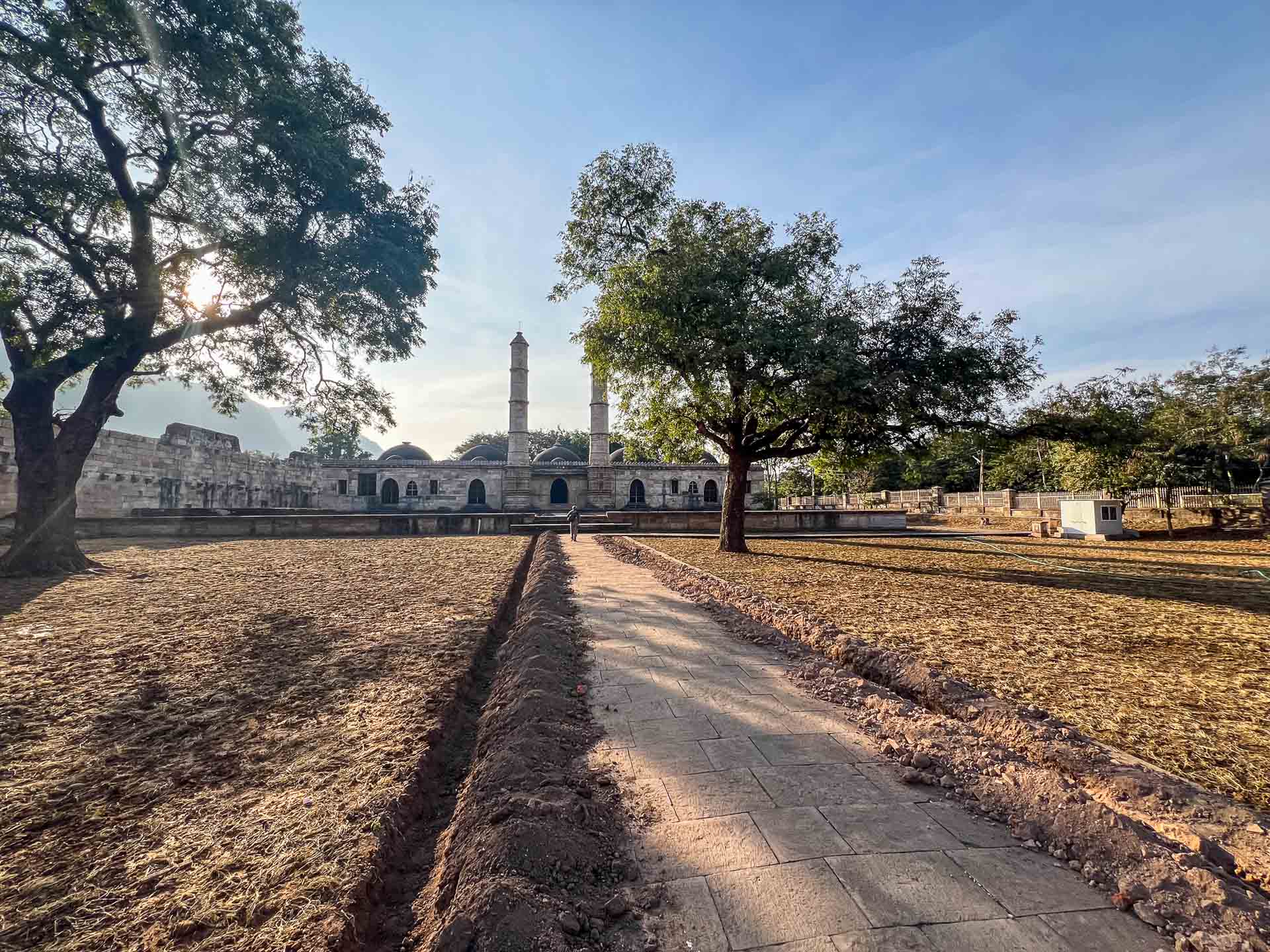
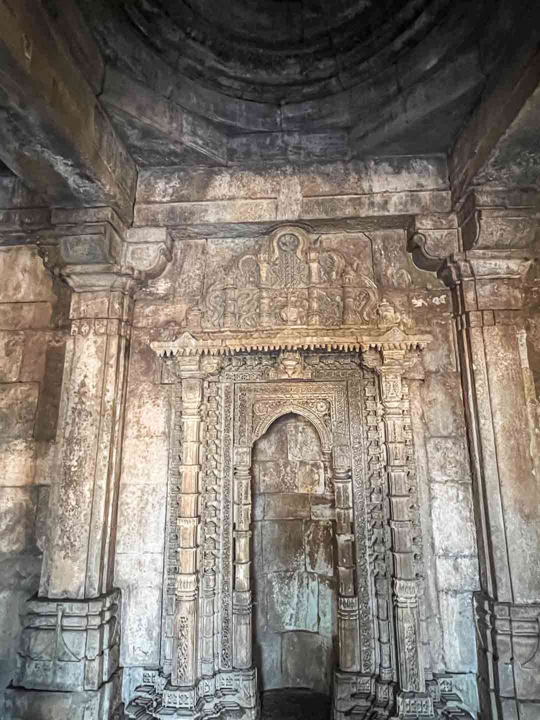
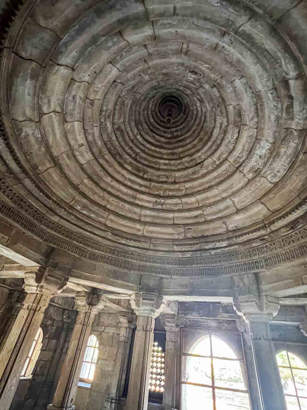
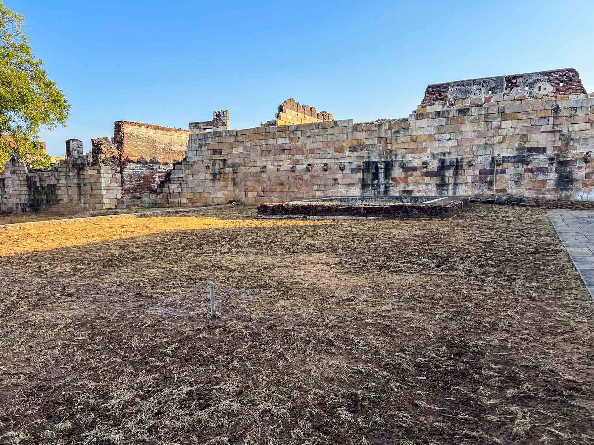
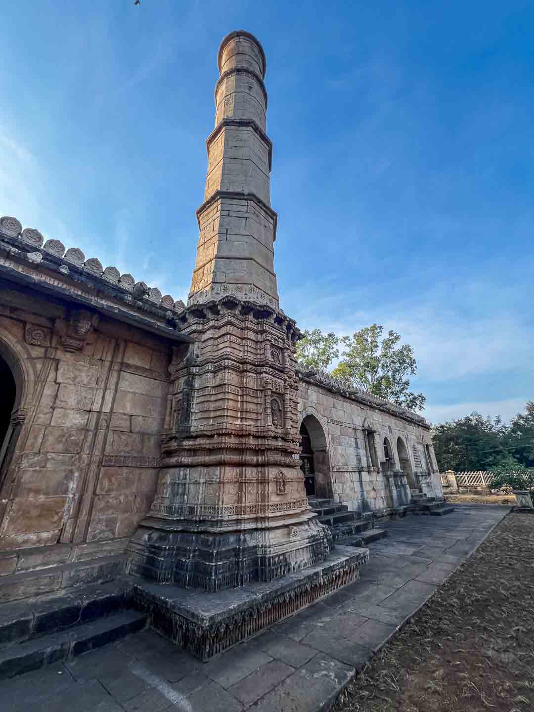
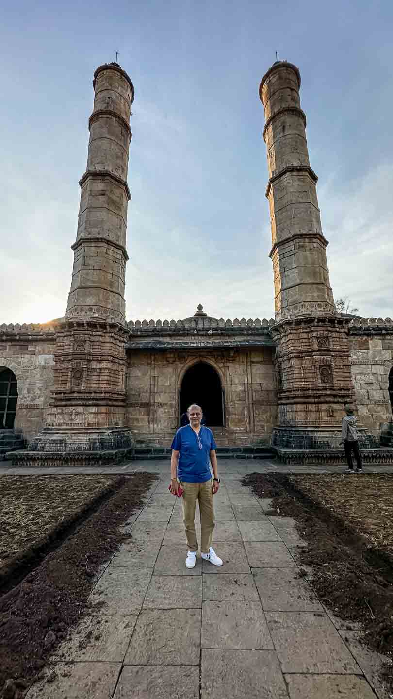
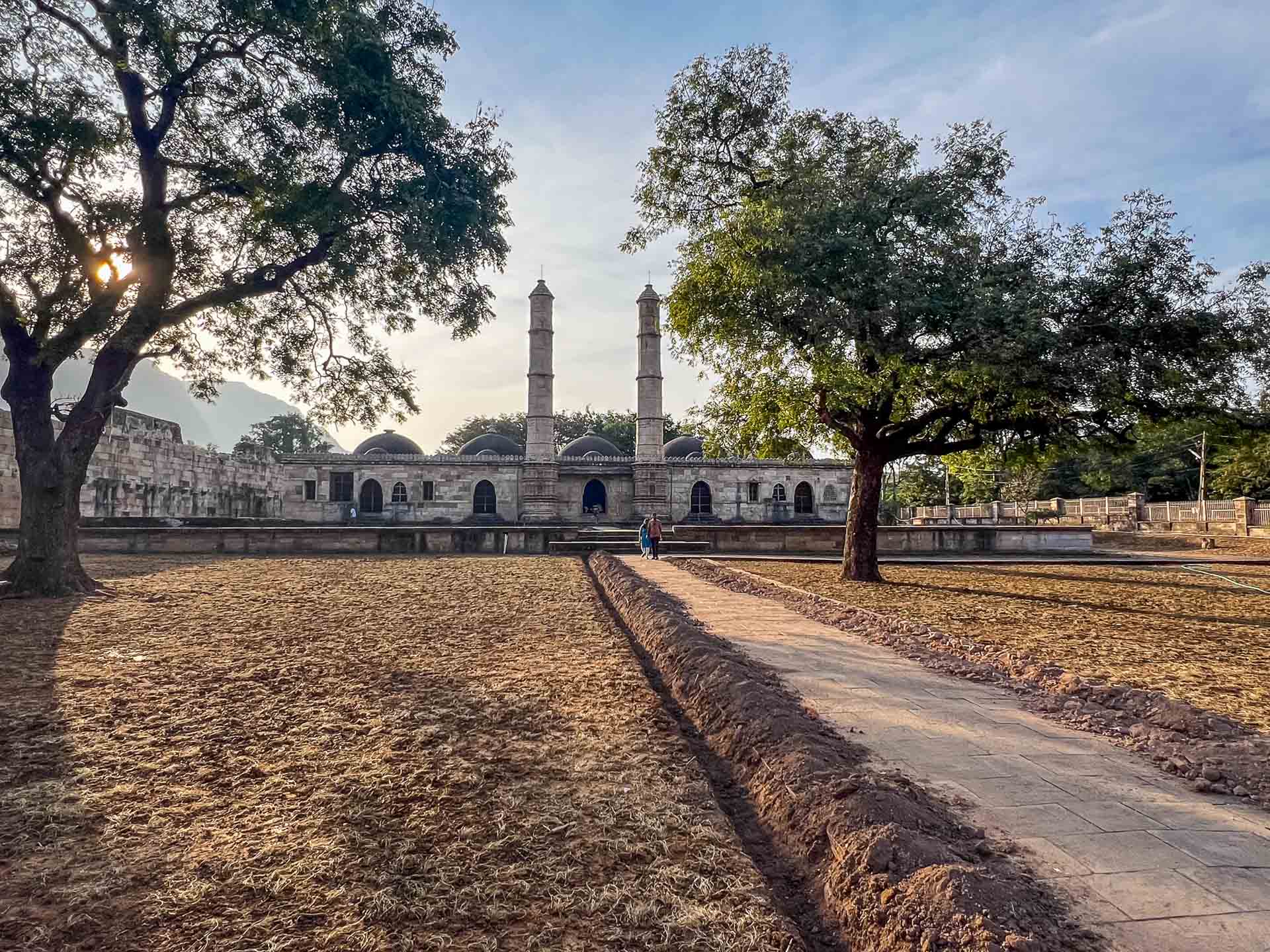
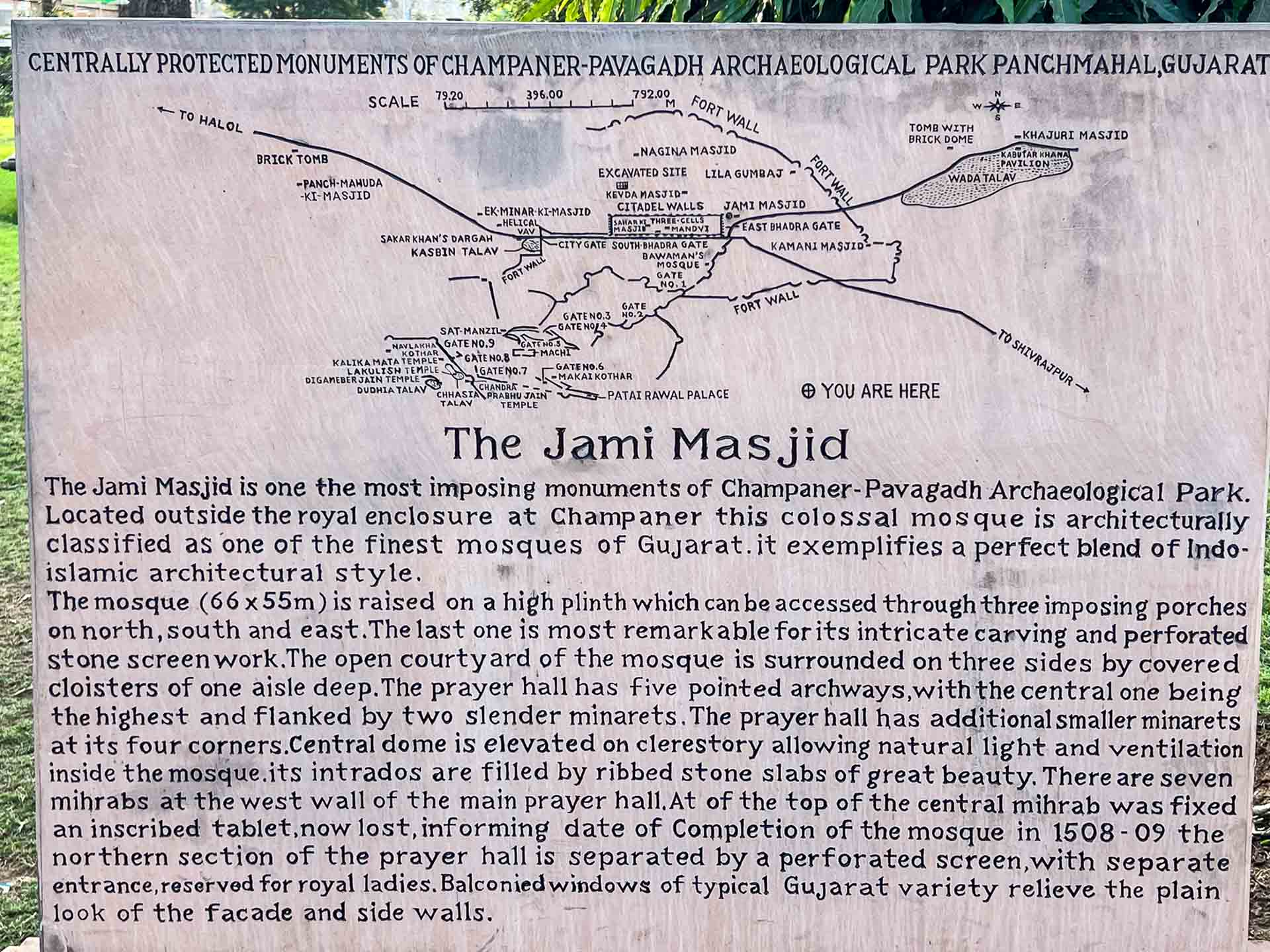
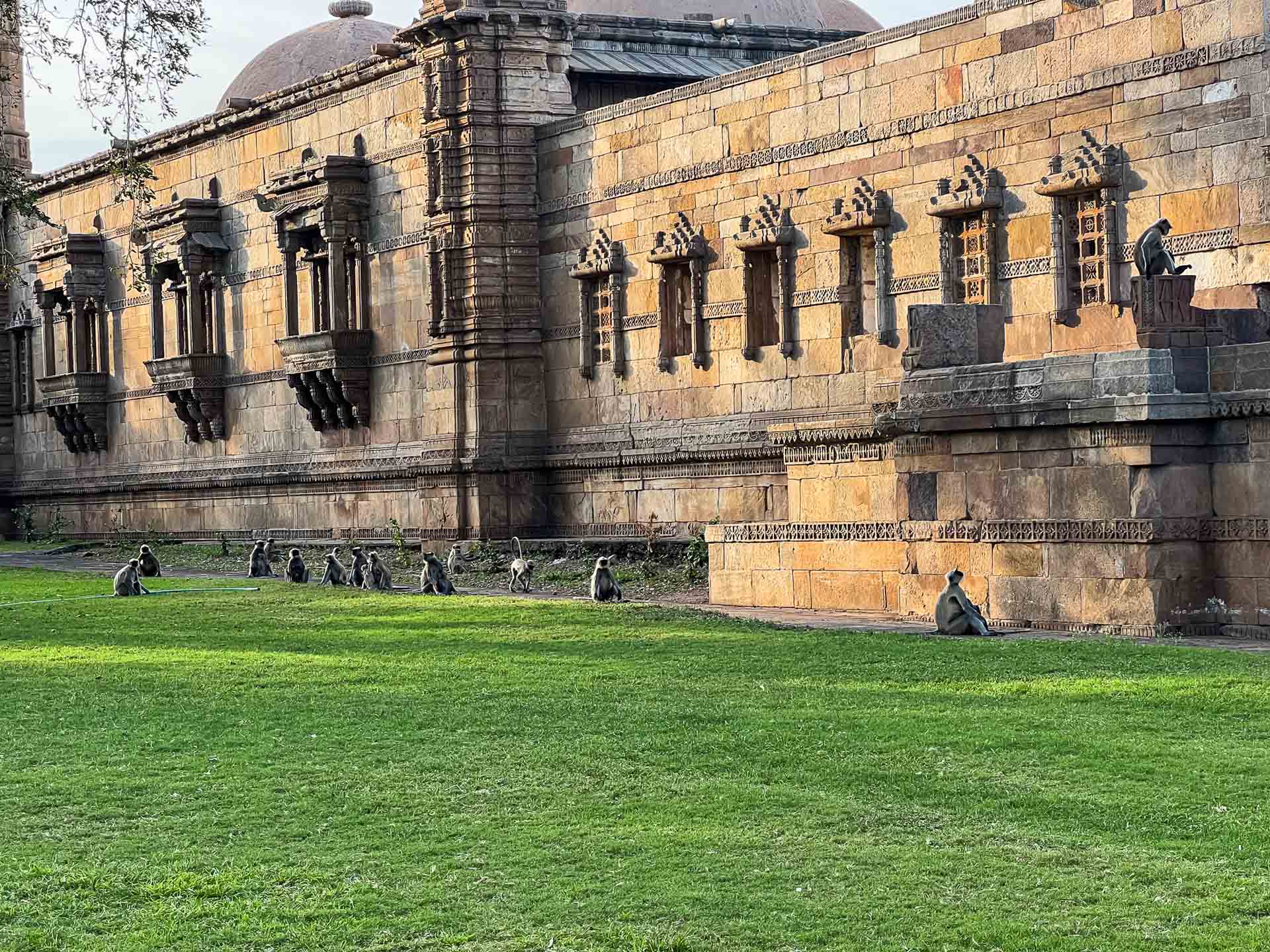
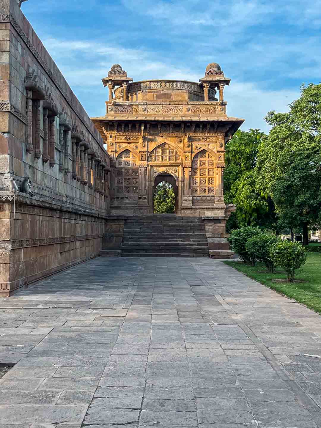
Unlike densely built historic cities, Champaner is spread across a wide area. Its remains appear gradually—through fort walls, mosques, and scattered structures—set within an open landscape. The site is best understood not as a single enclosed city, but as a combination of built spaces shaped by political authority, religious activity, and planned urban design.
History
The early phase of Champaner is associated with local Rajput rule, particularly under Patai Raval, who established a fortified settlement at the base of Pavagadh Hill. The hill itself had long served as both a defensive stronghold and a site of religious importance.
In the late 15th century, Mahmud Begada led a prolonged campaign to capture Pavagadh. After successfully taking control of the hill, he shifted his capital from Ahmedabad to Champaner.
Under his rule, Champaner was developed as a planned city. Its layout included mosques, administrative buildings, fortifications, water systems, and residential areas. For a relatively brief period, it functioned as an important political and cultural center in western India.
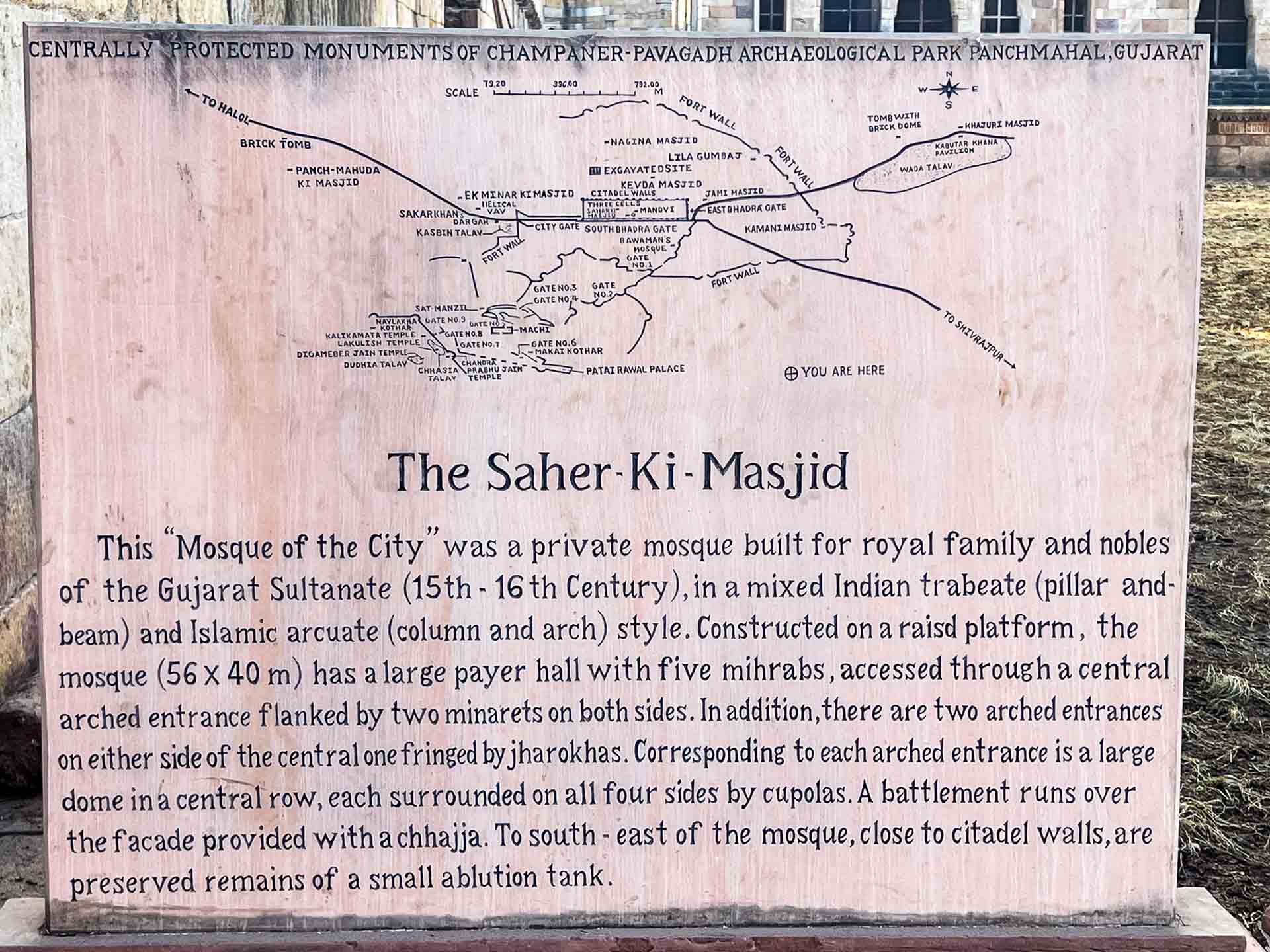
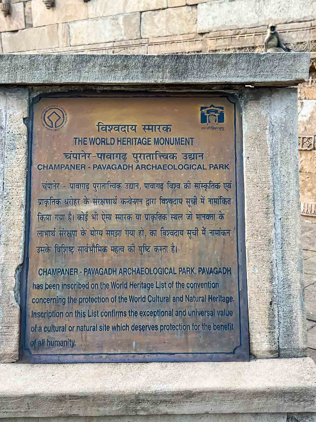
Today, the remains of this city form part of the Champaner-Pavagadh Archaeological Park, which preserves both the urban settlement and the hill fort.